Nansensgade, Copenhagen
Map
Gallery
Facts and practical information
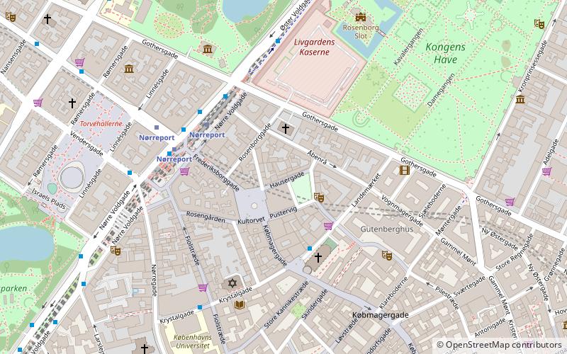
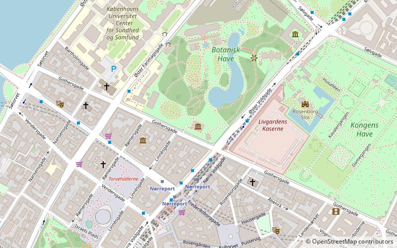
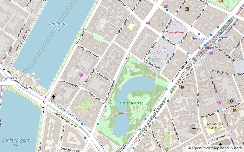
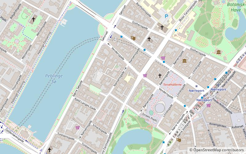
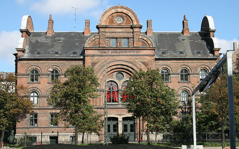
Nansensgade is a street in central Copenhagen, Denmark, linking Gyldenløvesgade in the southwest with Gothersgade in the northeast. The street is known for its abundance of cafés and trendy shops, and plays host to an annual street festival. Charlotte Ammundsens Plads, located in front of the local community centre, is an urban space which connects Nansensgade to Nørre Søgade ()
Coordinates: 55°41'3"N, 12°33'58"E
Address
Indre By (Ørsteds)Copenhagen
ContactAdd
Social media
Add
Day trips
Nansensgade – popular in the area (distance from the attraction)
Nearby attractions include: Søpavillonen, Nørrebro Bryghus, Klosteret, The Lakes.
Frequently Asked Questions (FAQ)
Which popular attractions are close to Nansensgade?
Nearby attractions include Frederiksborggade, Copenhagen (3 min walk), Israels Plads, Copenhagen (4 min walk), Søtorvet, Copenhagen (4 min walk), Statue of Anders Sandøe Ørsted, Copenhagen (4 min walk).
How to get to Nansensgade by public transport?
The nearest stations to Nansensgade:
Bus
Metro
Light rail
Train
Ferry
Bus
- Nørre Farimagsgade • Lines: 14, 350S, 5C (3 min walk)
- Søtorvet • Lines: 5C (3 min walk)
Metro
- Nørreport • Lines: M1, M2 (5 min walk)
- Rådhuspladsen • Lines: M3, M4 (14 min walk)
Light rail
- Nørreport • Lines: A, B, Bx, C, E, H (6 min walk)
- Vesterport • Lines: A, B, Bx, C, E, H (15 min walk)
Train
- Nørreport (7 min walk)
- Copenhagen Central Station (21 min walk)
Ferry
- Det Kongelige Bibliotek • Lines: 991, 992 (26 min walk)
- Knippelsbro • Lines: 991, 992 (28 min walk)

 Metro
Metro

