Stokhusgade, Copenhagen
Map

Gallery

Facts and practical information
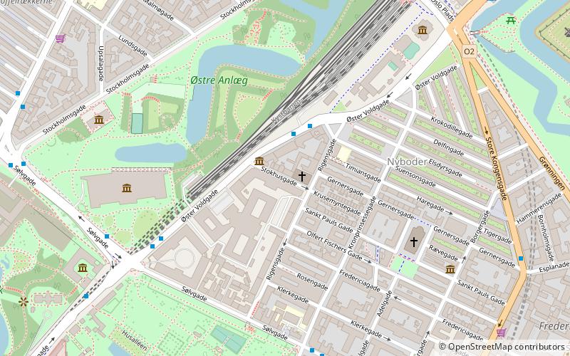
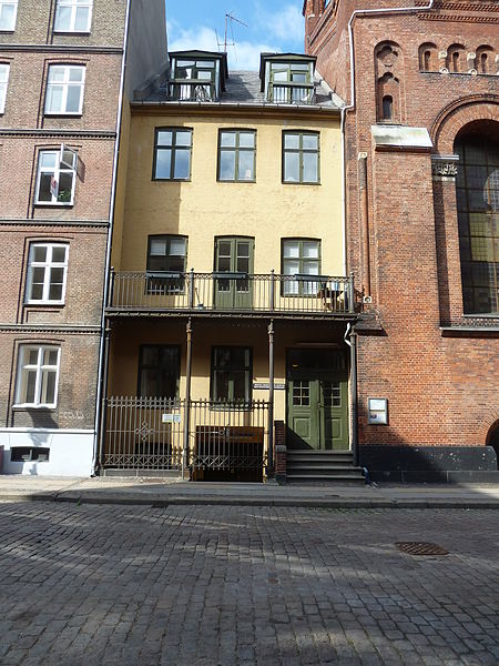
Stokhusgade is a cobbled, one-way street in central Copenhagen, Denmark, linking Rigensgade in the southeast with Øster Voldgade in the northwest. The street takes its name after the Copenhagen Stocks House which was located at the site from 1741 to 1851. The College of Advanced Technology's former buildings occupy the entire southwestern side of the street. ()
Coordinates: 55°41'20"N, 12°34'59"E
Address
Østerbros (Stokhusgades)Copenhagen
ContactAdd
Social media
Add
Day trips
Stokhusgade – popular in the area (distance from the attraction)
Nearby attractions include: National Gallery of Denmark, Jazzhus Montmartre, Hirschsprung Collection, Østre Anlæg.
Frequently Asked Questions (FAQ)
Which popular attractions are close to Stokhusgade?
Nearby attractions include Jerusalem's Church, Copenhagen (1 min walk), Rigensgade, Copenhagen (2 min walk), Østre Anlæg, Copenhagen (4 min walk), Gernersgade, Copenhagen (4 min walk).
How to get to Stokhusgade by public transport?
The nearest stations to Stokhusgade:
Bus
Metro
Light rail
Train
Ferry
Bus
- Suensonsgade • Lines: 23 (2 min walk)
- Kronprinsessegade • Lines: 23 (6 min walk)
Metro
- Østerport • Lines: M3, M4 (8 min walk)
- Marmorkirken • Lines: M3, M4 (9 min walk)
Light rail
- Østerport • Lines: A, B, Bx, C, E, H (8 min walk)
- Nørreport • Lines: A, B, Bx, C, E, H (15 min walk)
Train
- Østerport (10 min walk)
- Nørreport (14 min walk)
Ferry
- Nordre Toldbod • Lines: 991, 992 (17 min walk)
- Nyhavn • Lines: 991, 992 (21 min walk)

 Metro
Metro


