St. Andrew's Church, Copenhagen
Map

Map

Facts and practical information
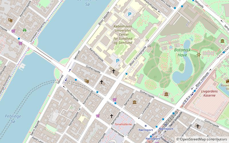
St. Andrew's Church is a Lutheran church on Gothersgade in Copenhagen, Denmark, which was designed by the architect Martin Borch and built from 1897 to 1901. It is a parish church within the Danish National Church. ()
Local name: Sankt Andreas Kirke Completed: 1901 (125 years ago)Architectural style: Romanesque revivalCoordinates: 55°41'10"N, 12°34'8"E
Address
Gothersgade 148Indre By (Kommunehospitalets)Copenhagen 1123
Contact
+45 33 13 41 26
Social media
Add
Day trips
St. Andrew's Church – popular in the area (distance from the attraction)
Nearby attractions include: Botanical Garden, Hirschsprung Collection, Nørrebro Bryghus, Klosteret.
Frequently Asked Questions (FAQ)
Which popular attractions are close to St. Andrew's Church?
Nearby attractions include Frederiksborggade, Copenhagen (3 min walk), Worker's Museum, Copenhagen (3 min walk), Søgade, Copenhagen (4 min walk), Søtorvet, Copenhagen (4 min walk).
How to get to St. Andrew's Church by public transport?
The nearest stations to St. Andrew's Church:
Bus
Metro
Light rail
Train
Ferry
Bus
- Gothersgade • Lines: 14 (1 min walk)
- Nørre Farimagsgade • Lines: 14, 350S, 5C (3 min walk)
Metro
- Nørreport • Lines: M1, M2 (5 min walk)
- Rådhuspladsen • Lines: M3, M4 (18 min walk)
Light rail
- Nørreport • Lines: A, B, Bx, C, E, H (6 min walk)
- Vesterport • Lines: A, B, Bx, C, E, H (19 min walk)
Train
- Nørreport (6 min walk)
- Østerport (24 min walk)
Ferry
- Det Kongelige Bibliotek • Lines: 991, 992 (28 min walk)
- Knippelsbro • Lines: 991, 992 (28 min walk)

 Metro
Metro


