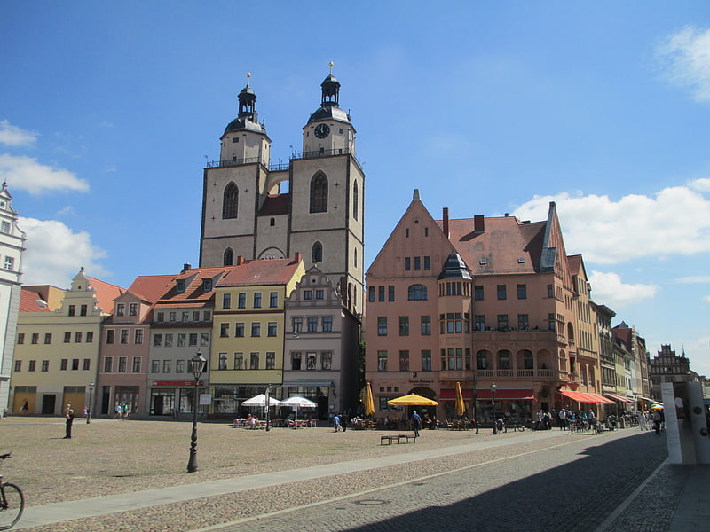
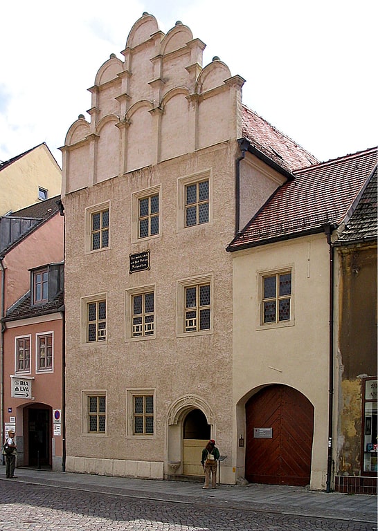
City Hall, Wittenberg

Facts and practical information
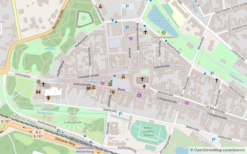
City Hall is a place located in Wittenberg (Saxony-Anhalt state) and belongs to the category of city hall.
It is situated at an altitude of 249 feet, and its geographical coordinates are 51°52'0"N latitude and 12°38'37"E longitude.
Planning a visit to this place, one can easily and conveniently get there by public transportation. City Hall is a short distance from the following public transport stations: Marktplatz (bus, 1 min walk), Lutherstadt Wittenberg Altstadt (train, 6 min walk).
Among other places and attractions worth visiting in the area are: Lutherdenkmal (memorial, 1 min walk), Melanchthondenkmal (memorial, 1 min walk), Marktbrunnen (fountain, 1 min walk).
Wittenberg
- Bus
- Train
 Bus
Bus
- Calculate routeMarktplatz 1 min walk
- Calculate routeAm Tierpark 5 min walk
- Calculate routeLutherstadt Wittenberg, Altstadtbahnhof 6 min walk
- Calculate routeFleischerstraße 7 min walk
- Calculate routeLutherstadt Wittenberg Altstadt 6 min walk
- Calculate routeLutherstadt Wittenberg Hauptbahnhof 21 min walk
City Hall – popular in the area (distance from the attraction)
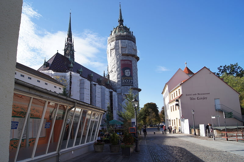
Nearby attractions include: Schlosskirche, Lutherhaus, Stadtkirche St. Marien, Melanchthonhaus.


Frequently Asked Questions (FAQ)
Which popular attractions are close to City Hall?
How to get to City Hall by public transport?
Bus
- Marktplatz • Lines: 301 (1 min walk)
- Am Tierpark • Lines: 301 (5 min walk)
Train
- Lutherstadt Wittenberg Altstadt (6 min walk)
- Lutherstadt Wittenberg Hauptbahnhof (21 min walk)