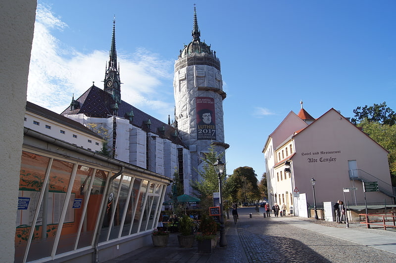
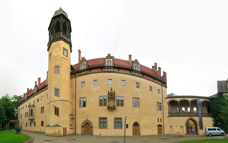
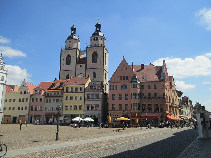
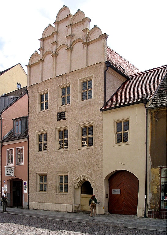
Lutherdenkmal, Wittenberg

Gallery (1)
Map
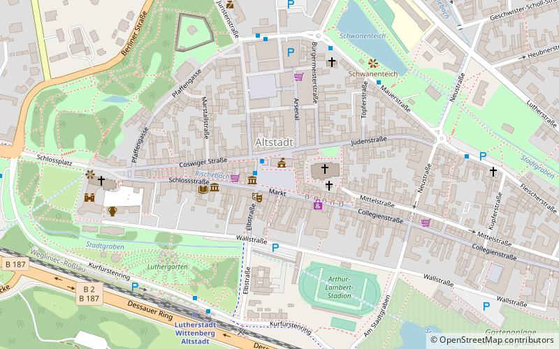
Map
Facts and practical information
Lutherdenkmal is a place located in Wittenberg (Saxony-Anhalt state) and belongs to the category of memorial.
It is situated at an altitude of 249 feet, and its geographical coordinates are 51°51'59"N latitude and 12°38'37"E longitude.
Planning a visit to this place, one can easily and conveniently get there by public transportation. Lutherdenkmal is a short distance from the following public transport stations: Marktplatz (bus, 1 min walk), Lutherstadt Wittenberg Altstadt (train, 6 min walk).
Among other places and attractions worth visiting in the area are: Melanchthondenkmal (memorial, 1 min walk), City Hall (city hall, 1 min walk), Marktbrunnen (fountain, 1 min walk).
Coordinates: 51°51'59"N, 12°38'37"E
Address
Wittenberg
ContactAdd
Social media
Add
Getting there by public transportation
Public transportation stops near this location
- Bus
- Train
 Bus
Bus
- Calculate routeMarktplatz 1 min walk
- Calculate routeAm Tierpark 5 min walk
- Calculate routeLutherstadt Wittenberg, Altstadtbahnhof 6 min walk
- Calculate routeFleischerstraße 7 min walk
- Calculate routeLutherstadt Wittenberg Altstadt 6 min walk
- Calculate routeLutherstadt Wittenberg Hauptbahnhof 21 min walk
Day trips


Frequently Asked Questions (FAQ)
Which popular attractions are close to Lutherdenkmal?
Nearby attractions include Melanchthondenkmal, Wittenberg (1 min walk), City Hall, Wittenberg (1 min walk), Marktbrunnen, Wittenberg (1 min walk), Stadtkirche St. Marien, Wittenberg (2 min walk).
How to get to Lutherdenkmal by public transport?
The nearest stations to Lutherdenkmal:
Bus
Train
Bus
- Marktplatz • Lines: 301 (1 min walk)
- Am Tierpark • Lines: 301 (5 min walk)
Train
- Lutherstadt Wittenberg Altstadt (6 min walk)
- Lutherstadt Wittenberg Hauptbahnhof (21 min walk)