Landesdenkmal, Wiesbaden
Map

Map

Facts and practical information
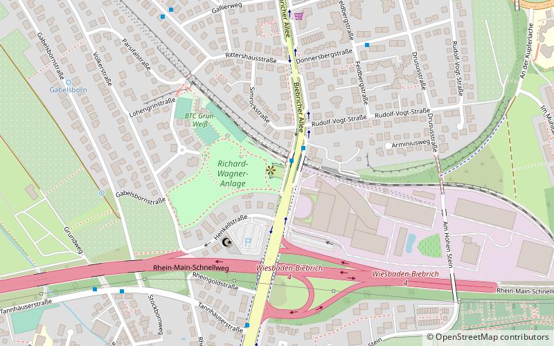
The state monument on Biebricher Allee on Adolfshöhe in Wiesbaden, not far from the Henkell sparkling wine factory, was dedicated in honor of Duke Adolph of Nassau on October 26, 1909.
Coordinates: 50°3'16"N, 8°14'34"E
Address
Biebrich (Unterriethstraße - Volkerstraße)Wiesbaden
ContactAdd
Social media
Add
Day trips
Landesdenkmal – popular in the area (distance from the attraction)
Nearby attractions include: Biebrich Palace, Luther Church, Südfriedhof, Biebrich.
Frequently Asked Questions (FAQ)
Which popular attractions are close to Landesdenkmal?
Nearby attractions include Church of the Holy Spirit, Wiesbaden (11 min walk), Biebricher Allee, Wiesbaden (12 min walk), Biebrich, Wiesbaden (13 min walk), Hauptkirche, Wiesbaden (14 min walk).
How to get to Landesdenkmal by public transport?
The nearest stations to Landesdenkmal:
Bus
Train
Bus
- Landesdenkmal • Lines: 14, 38, 4, N3 (1 min walk)
- Rudolf-Vogt-Straße • Lines: 38 (6 min walk)
Train
- Wiesbaden-Biebrich (13 min walk)
- Waldstraße (17 min walk)


