Weinbergskirche, Dresden
Map
Gallery
Facts and practical information
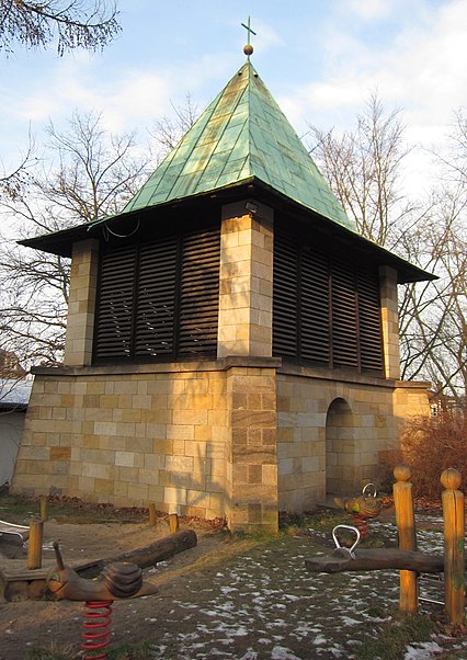
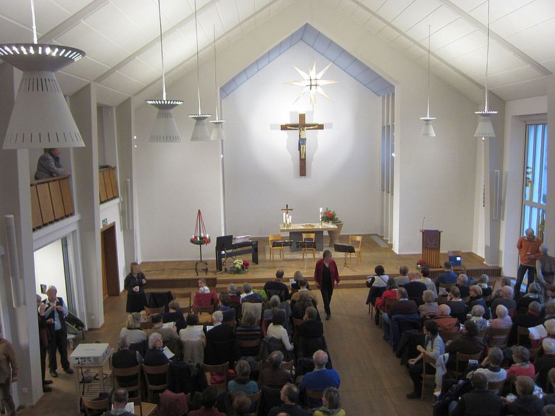
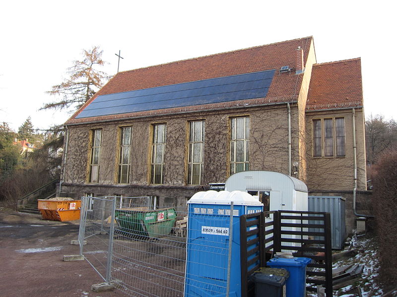
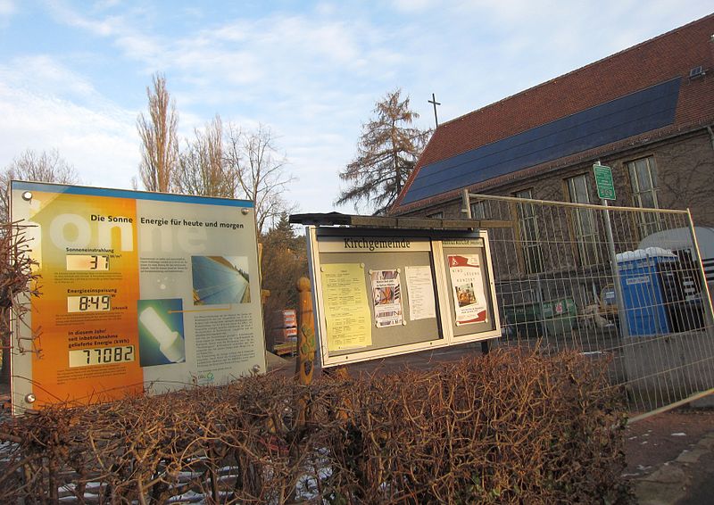
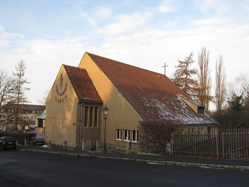
Weinbergskirche is a sacred building built in the 20th century in the Saxon state capital Dresden. It is located in the district of Trachenberge and belongs to the Evangelical Lutheran Laurentiuskirchgemeinde Dresden-Trachau. It is not to be confused with the baroque Weinbergkirche in the Pillnitz district of Dresden.
Coordinates: 51°5'39"N, 13°43'47"E
Day trips
Weinbergskirche – popular in the area (distance from the attraction)
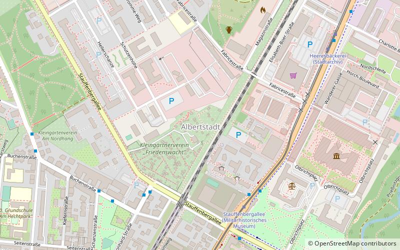
Nearby attractions include: Albertstadt, Straßenbahnmuseum Dresden e.V., St. Mark's Church, Heidefriedhof.
Frequently Asked Questions (FAQ)
How to get to Weinbergskirche by public transport?
The nearest stations to Weinbergskirche:
Bus
Tram
Train
Bus
- Albert-Hensel-Straße • Lines: 73 (2 min walk)
- Duckwitzstraße • Lines: 73 (6 min walk)
Tram
- Dorothea-Erxleben-Straße • Lines: 3 (11 min walk)
- Hubertusplatz • Lines: 3 (11 min walk)
Train
- Dresden-Pieschen (23 min walk)
- Dresden-Trachau (30 min walk)


