St. Peter's Church, Mülheim
Map
Gallery

Facts and practical information
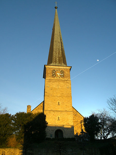
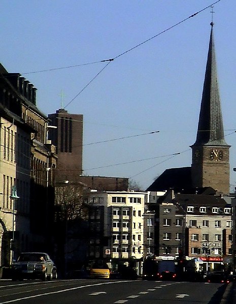
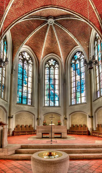
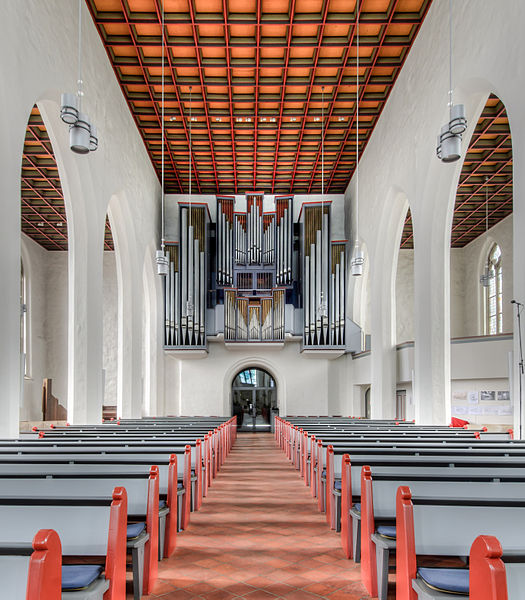
The Protestant Petrikirche, the oldest church building in Mülheim an der Ruhr, dates back to the chapel of a medieval manor house on what is now Kirchenhügel. It is one of eight churches in the church district that are listed monuments.
Coordinates: 51°25'36"N, 6°52'60"E
Day trips
St. Peter's Church – popular in the area (distance from the attraction)
Nearby attractions include: Schloss Broich, Stadthafen, Forum City Mülheim, Freilichtbühne Mülheim an der Ruhr.
Frequently Asked Questions (FAQ)
Which popular attractions are close to St. Peter's Church?
Nearby attractions include Kunstmuseum Mülheim, Mülheim (5 min walk), Stadthafen, Mülheim (7 min walk), Freilichtbühne Mülheim an der Ruhr, Mülheim (9 min walk), Sporthalle, Mülheim (13 min walk).
How to get to St. Peter's Church by public transport?
The nearest stations to St. Peter's Church:
Tram
Bus
Metro
Train
Tram
- Kaiserplatz • Lines: 112, Ne12 (3 min walk)
- Stadtmitte • Lines: 102, 104, 112, 901, Ne12 (5 min walk)
Bus
- Kaiserplatz • Lines: Ne3, Ne4 (4 min walk)
- Wertgasse • Lines: 151 (4 min walk)
Metro
- Mülheim Hbf • Lines: U18 (8 min walk)
- Von-Bock-Straße • Lines: U18 (12 min walk)
Train
- Mülheim Hauptbahnhof (9 min walk)
- Mülheim West (27 min walk)


