Denkmal 1870-71, Liebenwalde

Gallery (1)
Map
Map
Facts and practical information
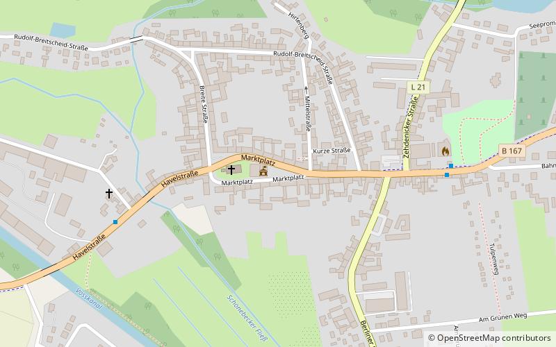
Denkmal 1870-71 is a place located in Liebenwalde (Brandenburg state) and belongs to the category of memorial.
It is situated at an altitude of 138 feet, and its geographical coordinates are 52°52'17"N latitude and 13°23'28"E longitude.
Among other places and attractions worth visiting in the area are: City Hall (city hall, 1 min walk), Denkmal 1914-18 (memorial, 7 min walk), Finow Canal (canal, 39 min walk).
Coordinates: 52°52'17"N, 13°23'28"E
Day trips


Frequently Asked Questions (FAQ)
Which popular attractions are close to Denkmal 1870-71?
Nearby attractions include City Hall, Liebenwalde (1 min walk), Denkmal 1914-18, Liebenwalde (7 min walk).