Kalkofen, Lenggries

Gallery (1)
Map
Map
Facts and practical information
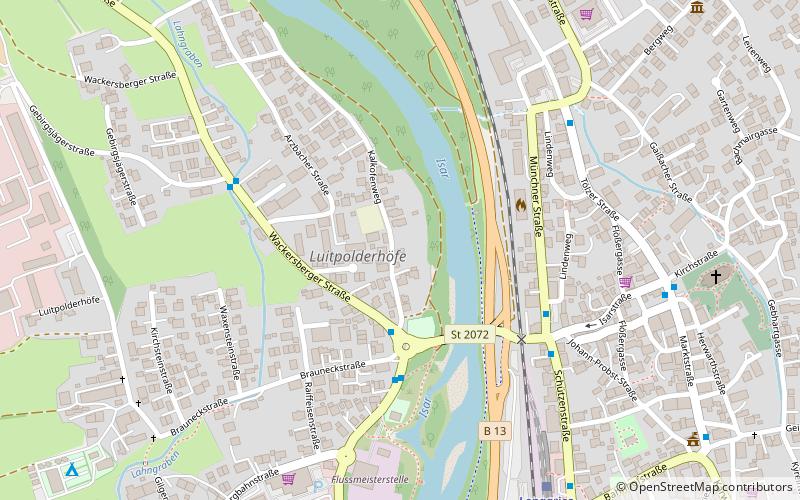
Kalkofen is a place located in Lenggries (Bavaria ) and belongs to the category of memorial.
It is situated at an altitude of 2228 feet, and its geographical coordinates are 47°41'1"N latitude and 11°34'13"E longitude.
Among other places and attractions worth visiting in the area are: Schloss Hohenburg (forts and castles, 33 min walk), Brauneck (natural attraction, 44 min walk), Geierstein (natural attraction, 59 min walk).
Coordinates: 47°41'1"N, 11°34'13"E
Address
Lenggries
ContactAdd
Social media
Add
Day trips


