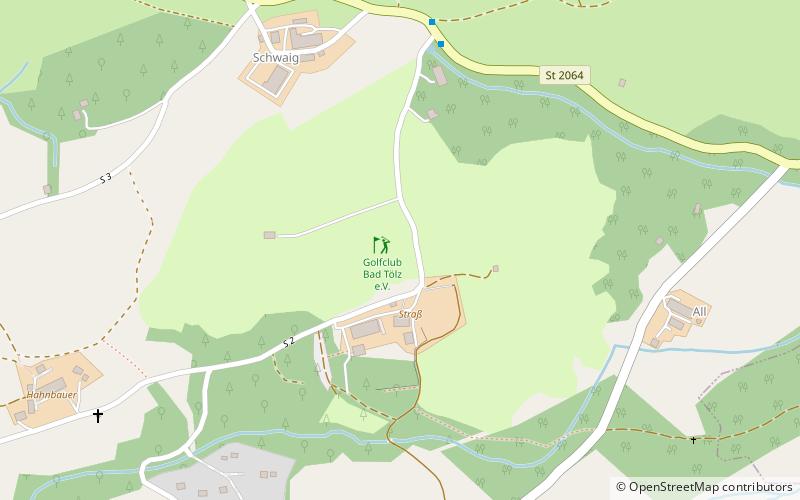
Golfclub Bad Tölz e.V., Wackersberg

Gallery (1)
Map
Map
Facts and practical information
Golfclub Bad Tölz e.V. (address: Strass 124) is a place located in Wackersberg (Bavaria ) and belongs to the category of outdoor activities, golf.
It is situated at an altitude of 2372 feet, and its geographical coordinates are 47°45'36"N latitude and 11°31'29"E longitude.
Among other places and attractions worth visiting in the area are: Alpamare, Bad Tölz (water park, 28 min walk), Bulle von Tölz Museum, Bad Tölz (specialty museum, 40 min walk), Blomberg (natural attraction, 61 min walk).
Coordinates: 47°45'36"N, 11°31'29"E
Day trips


