Trek Zone

Stromberg, Roth

#2 among attractions in Roth

Sightseeing
Stromberg location map
Map

Facts and practical information
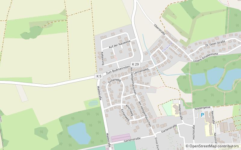
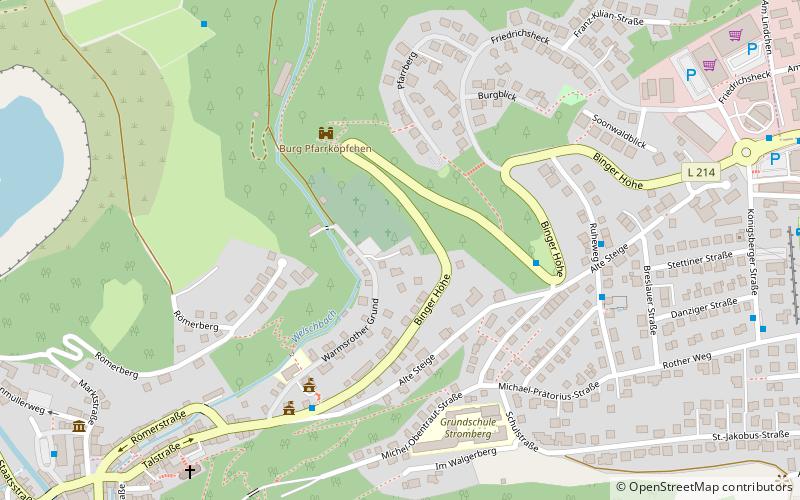
Local name: Verbandsgemeinde Stromberg Coordinates: 49°56'49"N, 7°46'46"E
Address

Roth Germany

Contact
Social media
Add
Day trips

Stromberg – popular in the area (distance from the attraction)

Nearby attractions include: Rheinstein Castle, Niederwalddenkmal, Burg Klopp, Burg Sooneck.

  • rheinstein castle trechtingshausen4.8 miNE
  • niederwalddenkmal rudesheim5.8 miNE
  • burg klopp bingen5.4 miE
  • burg sooneck trechtingshausen5.4 miN
  • reichenstein castle trechtingshausen5.2 miNE
  • mauseturm bingen4.8 miE
  • ehrenfels castle rudesheim5 miNE
  • basilika st martin bingen5.2 miE
  • gutenburg castle4.6 miS
  • kandrich4 miNW
  • waldalgesheim chariot burial roth location map
    2.3 miE

Where to next? Visit rhineland palatinate Rhineland-Palatinate region page or discover the top tourist attractions in Germany.