St. Christophorus, Hanover
Map

Map

Facts and practical information
Saint Christopher was the Catholic church in Stöcken, a district of Hanover. Named after St. Christopher, the church most recently belonged to the parish of St. Mary in the Hannover deanery of the Hildesheim diocese.
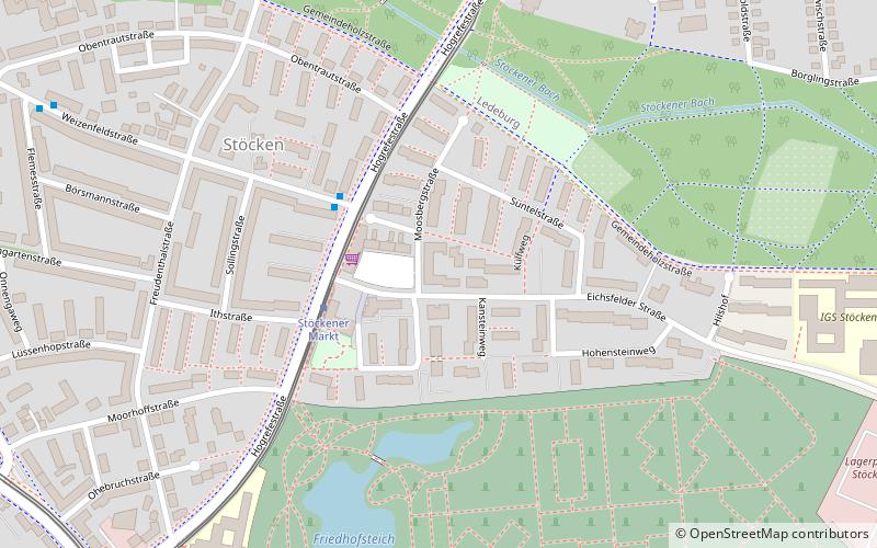
The site of the church building, which was demolished in 2019, was Moosbergstraße 4 at Stöckener Markt.
Architectural style: ModernCoordinates: 52°24'36"N, 9°39'55"E
Address
Herrenhausen-Stöcken (Stöcken)Hanover
ContactAdd
Social media
Add
Day trips
St. Christophorus – popular in the area (distance from the attraction)
Nearby attractions include: Herrenhäuser Kirche, Herrenhausen-Stöcken, Stadtfriedhof Stöcken, Botanischer Schulgarten Burg.
Frequently Asked Questions (FAQ)
How to get to St. Christophorus by public transport?
The nearest stations to St. Christophorus:
Tram
Bus
Train
Tram
- Stöckener Markt • Lines: 5 (3 min walk)
- Freudenthalstraße • Lines: 4, 5 (10 min walk)
Bus
- Weizenfeldstraße • Lines: 126 (3 min walk)
- Stöcken • Lines: 126, 135, 136, 470, 490, 581 (9 min walk)
Train
- Hannover-Leinhausen (26 min walk)
- Hannover-Ledeburg (28 min walk)


