Schlossturm, Duisburg
Map

Gallery

Facts and practical information
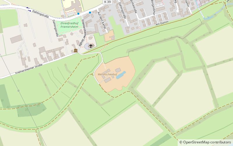
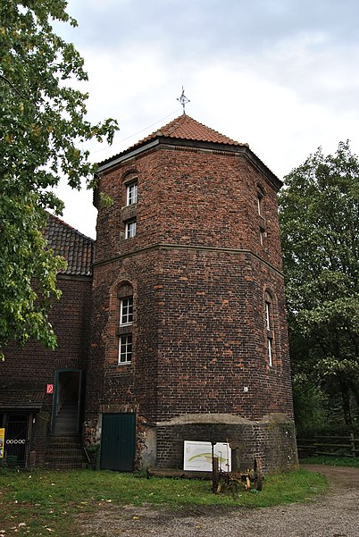
The Werthschenhof is in parts the remains of a hunting lodge built in 1487 by Count Vincenz von Moers in the Rheinhausen district of Duisburg.
The name of the farm is derived from Werder or Werth, which means a river island or a stretch of land between a river and standing water. The Werthschenhof was therefore originally located on an island on the Rhine.
Coordinates: 51°22'48"N, 6°42'16"E
Address
FriemersheimDuisburg
ContactAdd
Social media
Add
Day trips
Schlossturm – popular in the area (distance from the attraction)
Nearby attractions include: MSV-Arena, Duisburg-Hochfeld Railway Bridge, Brücke der Solidarität, Elfrather See.
Frequently Asked Questions (FAQ)
How to get to Schlossturm by public transport?
The nearest stations to Schlossturm:
Bus
Train
Tram
Bus
- Dahlingschule • Lines: 914, 927 (6 min walk)
- Schützenstraße • Lines: 927 (8 min walk)
Train
- Rheinhausen (24 min walk)
Tram
- Mannesmann Tor 2 • Lines: 903 (35 min walk)


