Hühnerberg, Frankfurt
Map
Map

Facts and practical information
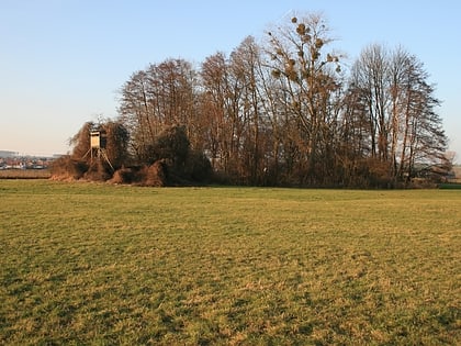
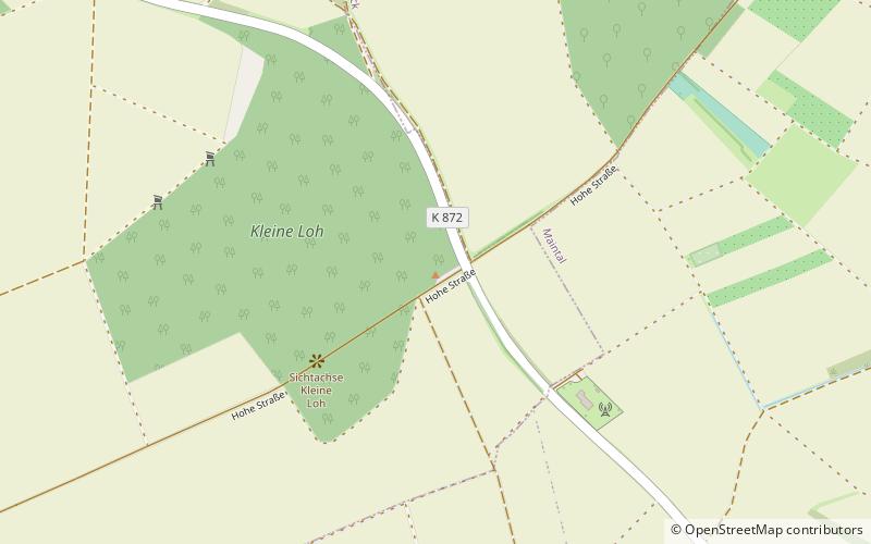
The Hühnerberg is a 197 m high elevation in the district of Wachenbuchens, between Wachenbuchen and Niederdorfelden. On the Hühnerberg is the transmitter Hühnerberg. From the hill there is a wide panoramic view over the Rhine-Main area, the Wetterau and the Main valley to Aschaffenburg. As part of the Via Regia, the so-called Hohe Straße runs over the Hühnerberg, which has been developed as a bicycle path and regional park route.
Elevation: 646 ftCoordinates: 50°10'39"N, 8°49'48"E
Address
Frankfurt
ContactAdd
Social media
Add
Day trips
Hühnerberg – popular in the area (distance from the attraction)
Nearby attractions include: Rumpenheim Castle, Church of the Sacred Heart, Heilig Geist, Maintalbad.
Frequently Asked Questions (FAQ)
How to get to Hühnerberg by public transport?
The nearest stations to Hühnerberg:
Bus
Train
Bus
- Raiffeisenbank • Lines: Mkk-30, Mkk-32 (33 min walk)
- Brucknerstraße • Lines: Mkk-22, Mkk-25, Mkk-25E, Mkk-31, Mkk-32 (35 min walk)
Train
- Niederdorfelden (37 min walk)


