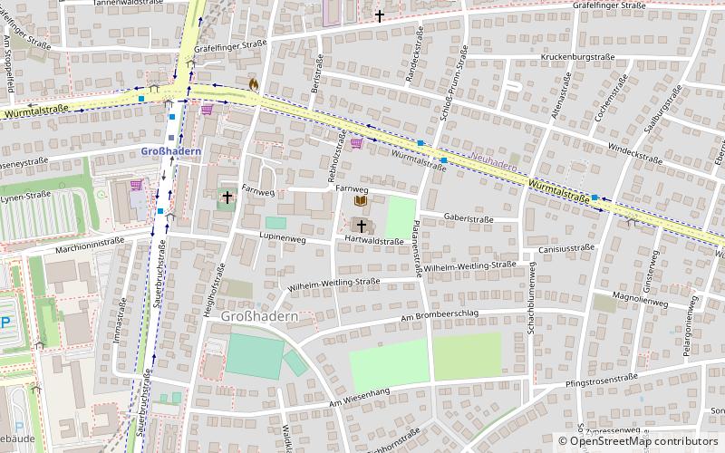
St. Canisius, Munich
Map

Map

Facts and practical information
St. Canisius is a former Roman Catholic church in the Hadern district of Munich, Germany. Designed by the Munich architect Franz Rank, the foundation stone was laid in 1925, and the church was consecrated on 29 August 1926 by Cardinal Faulhaber. ()
Day trips
St. Canisius – popular in the area (distance from the attraction)
Nearby attractions include: Waldfriedhof, St. Peter's Church, Großhadern Town Hall, Fürstenrieder Straße 255.
Frequently Asked Questions (FAQ)
Which popular attractions are close to St. Canisius?
Nearby attractions include St. Peter's Church, Munich (4 min walk), Großhadern Town Hall, Munich (6 min walk), Hadern, Munich (20 min walk), Waldfriedhof, Munich (22 min walk).
How to get to St. Canisius by public transport?
The nearest stations to St. Canisius:
Bus
Metro
Train
Tram
Bus
- Platanenstraße • Lines: 160, 268 (3 min walk)
- Marchioninistraße • Lines: 56, N40 (6 min walk)
Metro
- Großhadern • Lines: U6 (6 min walk)
- Klinikum Großhadern • Lines: U6 (13 min walk)
Train
- Klinikum Großhadern (13 min walk)
- Holzapfelkreuth (25 min walk)
Tram
- Gondrellplatz • Lines: 18 (22 min walk)
- Senftenauerstraße • Lines: 18 (29 min walk)


