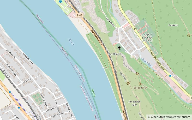
Trek Zone

Braubach, Braubach

#3 among attractions in Braubach

Sightseeing
Braubach location map
Map

Facts and practical information

Local name: Verbandsgemeinde Braubach Coordinates: 50°16'0"N, 7°39'0"E
Address

Braubach Germany

ContactAdd
Social media
Add
Day trips

Braubach – popular in the area (distance from the attraction)

Nearby attractions include: Marksburg, Schloss Stolzenfels, Stadion Oberwerth, Burg Lahneck.

  • marksburg braubach0.4 miN
  • schloss stolzenfels koblenz3.6 miNW
  • stadion oberwerth koblenz5.2 miNW
  • burg lahneck lahnstein3.2 miNW
  • emser therme bad ems5.3 miNE
  • sterrenberg castle kamp bornhofen3.7 miS
  • burg liebenstein sankt goar3.8 miS
  • allerheiligenberg monastery lahnstein3.4 miNW
  • kuhkopf koblenz4.7 miNW
  • kurfurstliche burg boppard3.4 miSW
  • koblenzer brauerei4.7 miNW

Frequently Asked Questions (FAQ)

Which popular attractions are close to Braubach?

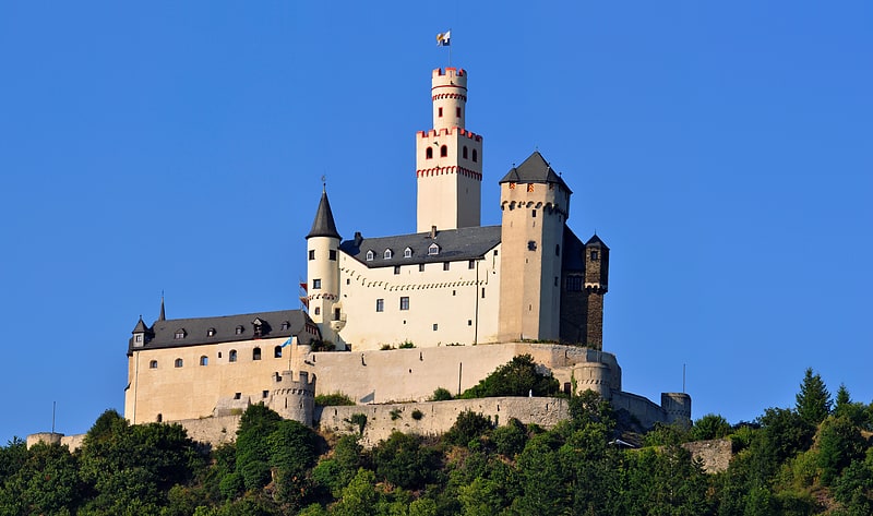
Nearby attractions include Alte Kirche Spay, Spay (6 min walk), Marksburg, Braubach (10 min walk), Bodo-Ebhardt-Anlage, Braubach (12 min walk).

Where to next? Visit rhineland palatinate Rhineland-Palatinate region page or discover the top tourist attractions in Germany.