Hallenkirche St. Nikolai, Luckau

Gallery (1)
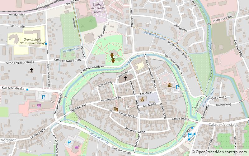
Map
Map
Facts and practical information
Hallenkirche St. Nikolai (address: Kirchpl. 7) is a place located in Luckau (Brandenburg state) and belongs to the category of church.
It is situated at an altitude of 230 feet, and its geographical coordinates are 51°51'13"N latitude and 13°42'49"E longitude.
Among other places and attractions worth visiting in the area are: City Hall (city hall, 3 min walk), Hausmannsturm (tower, 3 min walk), Karl-Liebknecht-Straße (bridge, 5 min walk).
Coordinates: 51°51'13"N, 13°42'49"E
Day trips


Frequently Asked Questions (FAQ)
Which popular attractions are close to Hallenkirche St. Nikolai?
Nearby attractions include City Hall, Luckau (3 min walk), Hausmannsturm, Luckau (3 min walk), Karl-Liebknecht-Straße, Luckau (5 min walk), Stadtmauer, Luckau (5 min walk).