Mühlendamm, Berlin
Map
Map

Facts and practical information
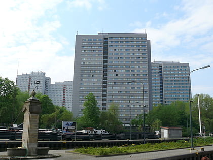
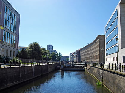
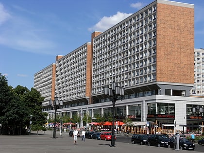
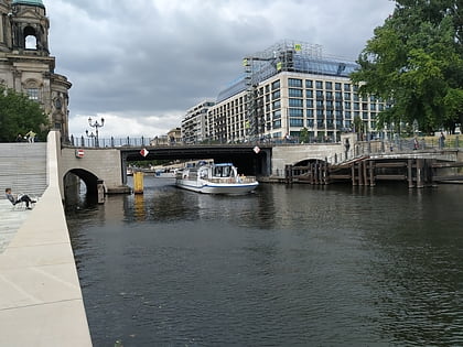
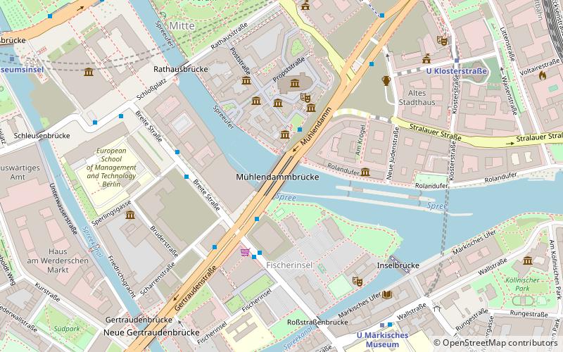
Mühlendamm is a major thoroughfare in the central Mitte district of Berlin, Germany. It runs from the historic Cölln and Fischerinsel quarters to the Molkenmarkt square of Alt-Berlin via the Mühlendammbrücke crossing the Spree river. Named after several watermills at the site, a historic causeway was first laid out at this location about 1200 and became the nucleus of the late medieval city foundation. The current prestressed concrete bridge was built in 1968. It is part of an east–west road link to Berlin's city centre and the Bundesstraße 1 highway. ()
Day trips
Mühlendamm – popular in the area (distance from the attraction)
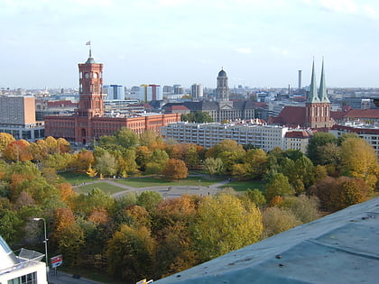
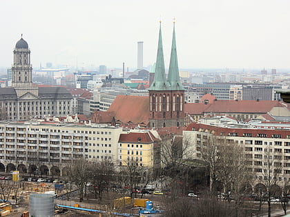
Nearby attractions include: Ephraim-Palais, Rotes Rathaus, Neptunbrunnen, Fischerinsel.
Frequently Asked Questions (FAQ)
Which popular attractions are close to Mühlendamm?
Nearby attractions include Ephraim-Palais, Berlin (1 min walk), Hanf Museum Berlin, Berlin (3 min walk), Direktorenhaus Berlin, Berlin (3 min walk), Nikolaiviertel, Berlin (3 min walk).
How to get to Mühlendamm by public transport?
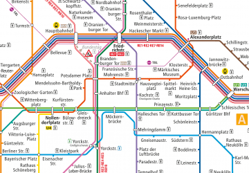
The nearest stations to Mühlendamm:
Metro
Tram
Train
Bus
Metro
- U Märkisches Museum • Lines: U2 (6 min walk)
- U Rotes Rathaus • Lines: U5 (7 min walk)
Tram
- Spandauer Straße/Marienkirche • Lines: M4, M5, M6 (10 min walk)
- S+U Alexanderplatz/Dircksenstraße • Lines: M2 (13 min walk)
Train
- Berlin Alexanderplatz (12 min walk)
- Berlin Friedrichstraße (24 min walk)
Bus
- Alexanderplatz • Lines: 002, 057, 065, 070, 125, 1385, 170, 270, 370, N13, N1385, N232, N44, N70 (17 min walk)

 Metro
Metro


