Eichtalpark, Hamburg
Map

Gallery

Facts and practical information
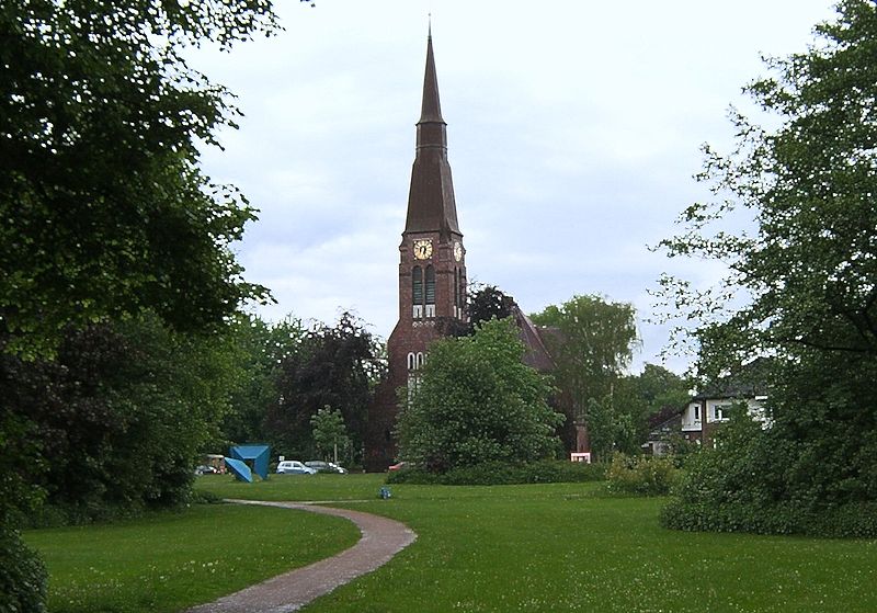
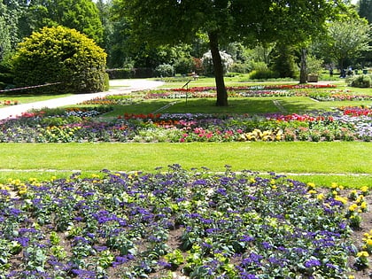
Eichtalpark is a public park of about 7.5 hectares in the Hamburg district of Wandsbek. It extends along the Wandse between the Kedenburgstraße in the west and the street Bei der Hopfenkarre in the east. It is bordered by Walddörferstraße to the north and Ahrensburger Straße to the south.
Elevation: 39 ft a.s.l.Coordinates: 53°34'46"N, 10°5'29"E
Day trips
Eichtalpark – popular in the area (distance from the attraction)
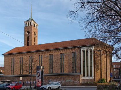
Nearby attractions include: Botanischer Sondergarten Wandsbek, Frohbotschaftskirche, Wandsbek, Dulsberg.
Frequently Asked Questions (FAQ)
Which popular attractions are close to Eichtalpark?
Nearby attractions include Botanischer Sondergarten Wandsbek, Hamburg (9 min walk), Wandsbek, Hamburg (11 min walk).
How to get to Eichtalpark by public transport?
The nearest stations to Eichtalpark:
Bus
Metro
Bus
- Eichtalstraße • Lines: 608, 9 (4 min walk)
- Kurfürstenstraße • Lines: 608, 9 (5 min walk)
Metro
- Straßburger Straße • Lines: U1 (26 min walk)
- Wandsbek-Gartenstadt • Lines: U1, U3 (29 min walk)


