Wandsbek, Hamburg
Map

Map

Facts and practical information
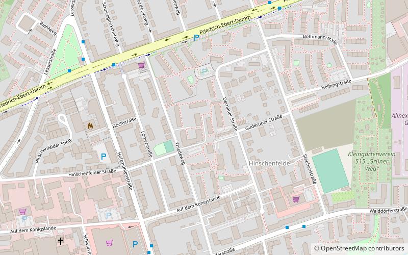
Wandsbek is the second-largest of seven boroughs that make up the city and state of Hamburg, Germany. The name of the district is derived from the river Wandse which passes through here. Wandsbek, which was formerly an independent city, is urban and, along with Eilbek and Marienthal, part of the city's economic and cultural core. In 2020 the population was 442,702. ()
Address
WandsbekHamburg
ContactAdd
Social media
Add
Day trips
Wandsbek – popular in the area (distance from the attraction)
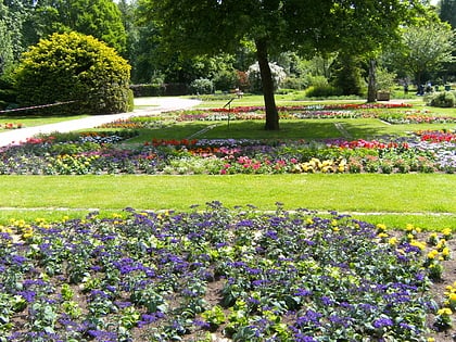
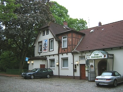
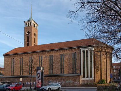
Nearby attractions include: Botanischer Sondergarten Wandsbek, Eichtalpark, Jacobipark, Frohbotschaftskirche.
Frequently Asked Questions (FAQ)
Which popular attractions are close to Wandsbek?
Nearby attractions include Eichtalpark, Hamburg (11 min walk), Botanischer Sondergarten Wandsbek, Hamburg (16 min walk), Dulsberg, Hamburg (22 min walk), Frohbotschaftskirche, Hamburg (23 min walk).
How to get to Wandsbek by public transport?
The nearest stations to Wandsbek:
Bus
Metro
Light rail
Bus
- Friedrich-Ebert-Damm • Lines: 16, 171, 8 (6 min walk)
- Dernauer Straße • Lines: 116 (6 min walk)
Metro
- Straßburger Straße • Lines: U1 (17 min walk)
- Wandsbek-Gartenstadt • Lines: U1, U3 (19 min walk)
Light rail
- Friedrichsberg • Lines: S1, S11 (30 min walk)
- Wandsbeker Chaussee • Lines: S1, S11 (35 min walk)


