Burg Liebenstein, Bad Liebenstein
Map

Map

Facts and practical information
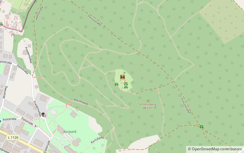
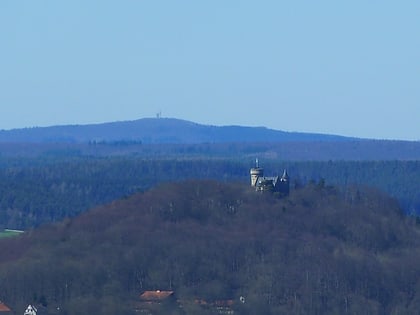
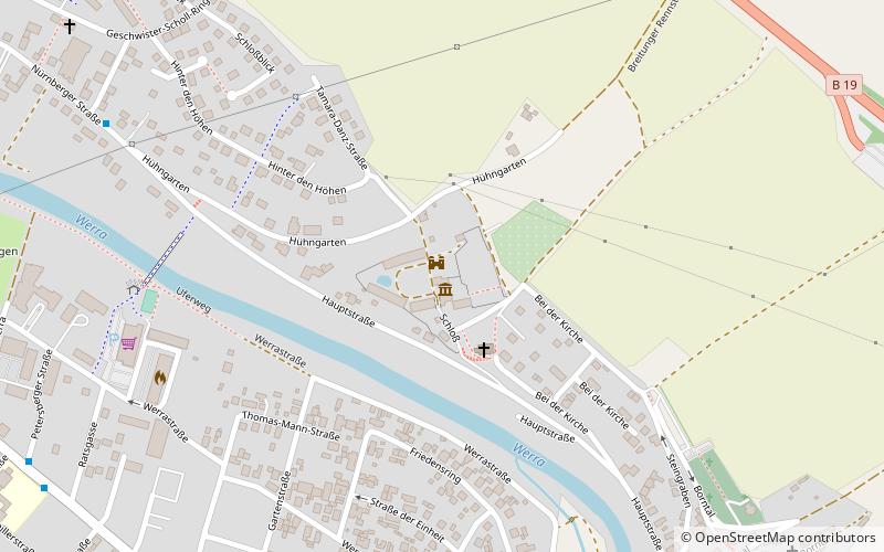
The ruins of Liebenstein Castle is a former hilltop castle at 460 m above sea level on the southwestern slope of the Thuringian Forest. It is located north above the town of Bad Liebenstein on the castle or Burgberg.
Coordinates: 50°49'4"N, 10°21'43"E
Day trips
Burg Liebenstein – popular in the area (distance from the attraction)
Nearby attractions include: Altenstein Palace, Pleß Mountain, Großer Inselsberg, Kilianstein.
Frequently Asked Questions (FAQ)
Which popular attractions are close to Burg Liebenstein?
Nearby attractions include Stadt- und Kurbibliothek, Bad Liebenstein (9 min walk), Tierpark Bad Liebenstein, Bad Liebenstein (10 min walk).


