Holterhöfchen, Hilden
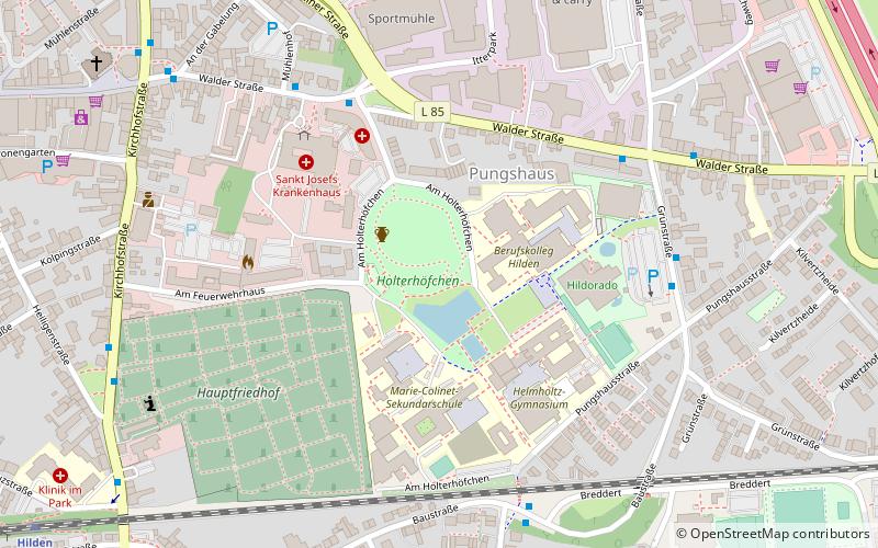
Map
Map

Facts and practical information
Holterhöfchen (address: Am Holterhöfchen) is a place located in Hilden (North Rhine-Westphalia state) and belongs to the category of relax in park, park.
It is situated at an altitude of 200 feet, and its geographical coordinates are 51°10'0"N latitude and 6°56'44"E longitude.
Among other places and attractions worth visiting in the area are: Reformationskirche (church, 15 min walk), Freibad Heide, Solingen (watersports, 35 min walk), Solinger Vogel- und Tierpark, Solingen (outdoor activities, 44 min walk).
Elevation: 200 ft a.s.l.Coordinates: 51°10'0"N, 6°56'44"E
Address
Am HolterhöfchenHilden
ContactAdd
Social media
Add
Day trips
Holterhöfchen – popular in the area (distance from the attraction)
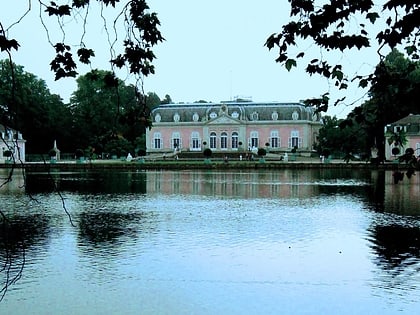
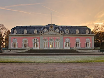
Nearby attractions include: Schloss Benrath, Neanderbad, Düsseldorf-Benrath, District 9.


