Donatsturm, Freiberg

Gallery (1)
Map
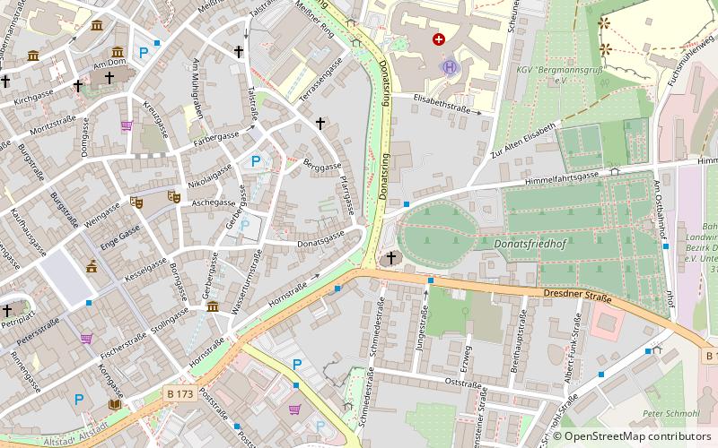
Map
Facts and practical information
Donatsturm is a place located in Freiberg (Saxony state) and belongs to the category of tower.
It is situated at an altitude of 1322 feet, and its geographical coordinates are 50°55'4"N latitude and 13°20'59"E longitude.
Planning a visit to this place, one can easily and conveniently get there by public transportation. Donatsturm is a short distance from the following public transport stations: Dresdner Str/Donatsfriedhof (bus, 2 min walk), Freiberg (train, 18 min walk).
Among other places and attractions worth visiting in the area are: Donatstor (city gate, 1 min walk), Irbischs Turm (tower, 2 min walk), Christiansdorf (town, 3 min walk).
Coordinates: 50°55'4"N, 13°20'59"E
Address
Freiberg
ContactAdd
Social media
Add
Getting there by public transportation
Public transportation stops near this location
- Bus
- Train
 Bus
Bus
- Calculate routeDresdner Str/Donatsfriedhof 2 min walk
- Calculate routeEherne Schlange 5 min walk
- Calculate routeDonatsring/Meißner Tor 6 min walk
- Calculate routePoststr/Stadtwerke 7 min walk
- Calculate routeFreiberg 18 min walk
Day trips


Frequently Asked Questions (FAQ)
Which popular attractions are close to Donatsturm?
Nearby attractions include Donatstor, Freiberg (1 min walk), Irbischs Turm, Freiberg (2 min walk), Christiansdorf, Freiberg (3 min walk), Lomonossow, Freiberg (4 min walk).
How to get to Donatsturm by public transport?
The nearest stations to Donatsturm:
Bus
Train
Bus
- Dresdner Str/Donatsfriedhof • Lines: 770, 775, A, C (2 min walk)
- Eherne Schlange • Lines: B, D (5 min walk)
Train
- Freiberg (18 min walk)