Herbeder Straße, Witten

Facts and practical information
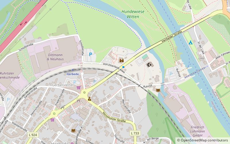
Herbeder Straße is a place located in Witten (North Rhine-Westphalia state) and belongs to the category of bridge.
It is situated at an altitude of 276 feet, and its geographical coordinates are 51°25'31"N latitude and 7°17'3"E longitude.
Planning a visit to this place, one can easily and conveniently get there by public transportation. Herbeder Straße is a short distance from the following public transport stations: Haus Herbede (bus, 1 min walk), Herbede (train, 4 min walk), Schleuse Herbede (ferry, 20 min walk), Heven Dorf (tram, 28 min walk).
Among other places and attractions worth visiting in the area are: Archiv Lohmann (library, 4 min walk), Ruhrtal (bridge, 5 min walk), Privatbrennerei Sonnenschein (whiskey distillery, 9 min walk).
Witten
- Bus
- Tram
- Train
- Ferry
 Bus
Bus
- Calculate routeHaus Herbede 1 min walk
- Calculate routeHerbeder Straße 11 min walk
- Calculate routeRuhrhöhe 13 min walk
- Calculate routeWittener Straße 13 min walk
- Calculate routeHerbede 4 min walk
- Calculate routeRuine Hardenstein 20 min walk
- Calculate routeSchleuse Herbede 20 min walk
- Calculate routeBurgruine Hardenstein 21 min walk
- Calculate routeHeven Dorf 28 min walk
- Calculate routeAm Steinberg 35 min walk
- Calculate routeHeven Hellweg 41 min walk


Frequently Asked Questions (FAQ)
Which popular attractions are close to Herbeder Straße?
How to get to Herbeder Straße by public transport?
Bus
- Haus Herbede • Lines: 374, 375, Ne17 (1 min walk)
- Herbeder Straße • Lines: 374, 375 (11 min walk)
Train
- Herbede (4 min walk)
- Ruine Hardenstein (20 min walk)
Ferry
- Schleuse Herbede • Lines: Fahrradfähre, MS Schwalbe II (20 min walk)
- Burgruine Hardenstein • Lines: Fahrradfähre, MS Schwalbe II (21 min walk)
Tram
- Heven Dorf • Lines: 309, 310 (28 min walk)
- Am Steinberg • Lines: 309, 310 (35 min walk)