Burgruine Hardenstein, Witten
Map

Map

Facts and practical information
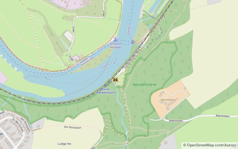
Hardenstein Castle is a ruined castle in North Rhine-Westphalia, Germany. The remains lie east of Herbede on the Ruhr River, surrounded by mountains, and are not easily accessible. Nearby ruins show that the castle was once part of an important mining centre, probably dating to the Middle Ages; the earliest records, from the 16th century, support this. The castle features in the legend of the Nibelungs. ()
Address
Hardensteiner WegWitten
ContactAdd
Social media
Add
Day trips
Burgruine Hardenstein – popular in the area (distance from the attraction)
Nearby attractions include: Freizeitbad Heveney, Ruhr-Golf, Gruben- und Feldbahnmuseum, LWL-Industriemuseum Zeche Nachtigall.
Frequently Asked Questions (FAQ)
Which popular attractions are close to Burgruine Hardenstein?
Nearby attractions include Hindenburgkopf, Witten (5 min walk), Privatbrennerei Sonnenschein, Witten (14 min walk), Steinbruch Muttental, Witten (15 min walk), Ruhrtal, Witten (17 min walk).
How to get to Burgruine Hardenstein by public transport?
The nearest stations to Burgruine Hardenstein:
Train
Ferry
Bus
Tram
Train
- Ruine Hardenstein (2 min walk)
- Herbede (24 min walk)
Ferry
- Schleuse Herbede • Lines: Fahrradfähre, MS Schwalbe II (3 min walk)
- Burgruine Hardenstein • Lines: Fahrradfähre, MS Schwalbe II (3 min walk)
Bus
- Zu den Eichen • Lines: 374 (12 min walk)
- Heinrich-Imbusch-Straße • Lines: 374 (14 min walk)
Tram
- Hans-Böckler-Straße • Lines: 309, 310 (38 min walk)
- Bahnhofstraße • Lines: 309, 310 (42 min walk)


