Roßberg, Breitnau

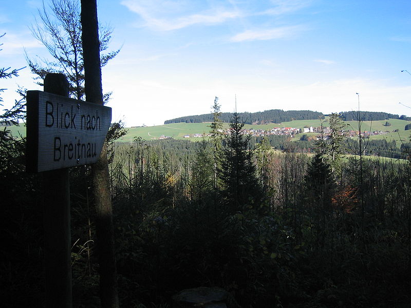
Gallery (2)
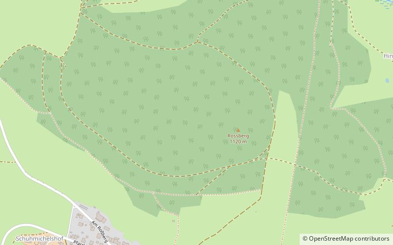
Map
Map
Gallery
Facts and practical information
The Roßberg is a mountain, 1,124.7 m above sea level, in the Black Forest immediately north of Breitnau in the German state of Baden-Württemberg. Hinterzarten, Titisee-Neustadt and St. Märgen are also nearby. On the same ridge just over 1 km to the west is the Hohwart and 2 km to the east, across the Oberbach valley, is the highest mountain in Breitnau municipality: the Weißtannenhöhe. ()
Address
Breitnau
ContactAdd
Social media
Add
Day trips


