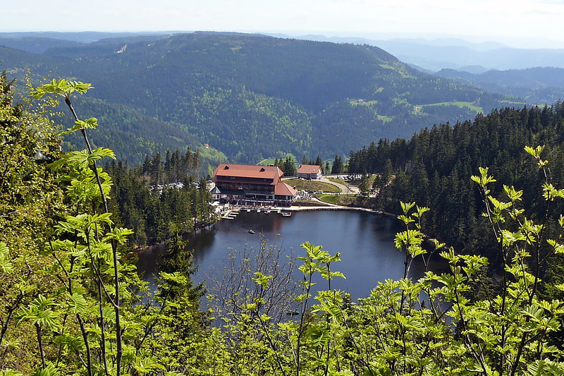
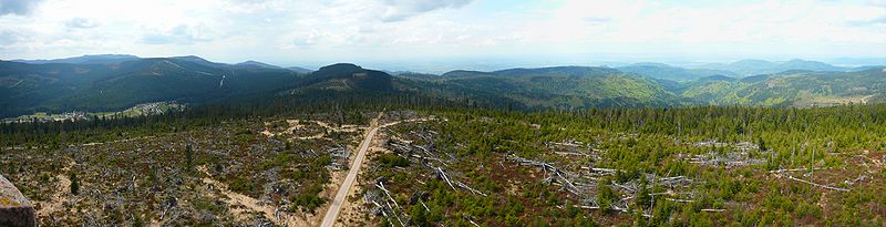
Badener Höhe, Black Forest National Park

Gallery (3)
Map
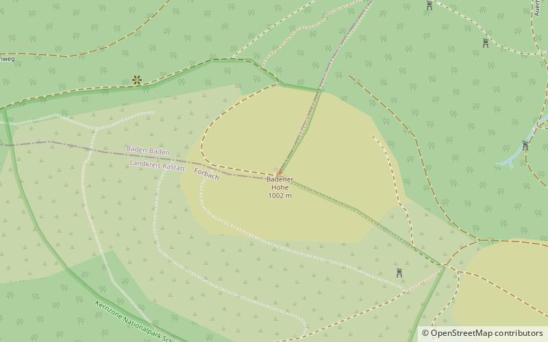
Map
Gallery
Facts and practical information
The Badener Höhe is a mountain in the Northern Black Forest in the German state of Baden-Württemberg. It lies within the borough of Baden-Baden and municipality of Forbach. With a height of 1,002.5 m above sea level, it is the highest point in the borough of Baden-Baden. ()
Address
Black Forest National Park
ContactAdd
Social media
Add
Day trips