Hochkopf
Map
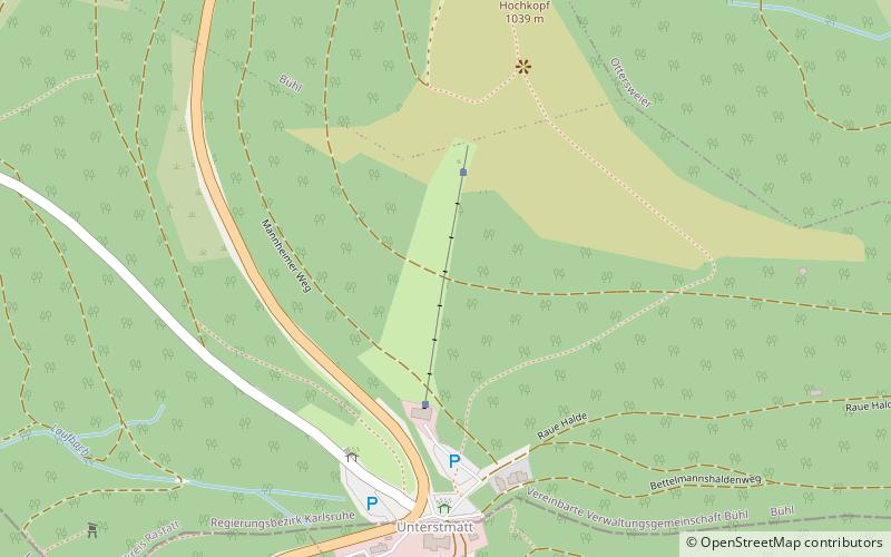
Map

Facts and practical information
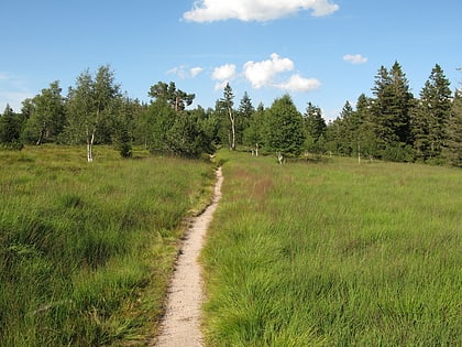
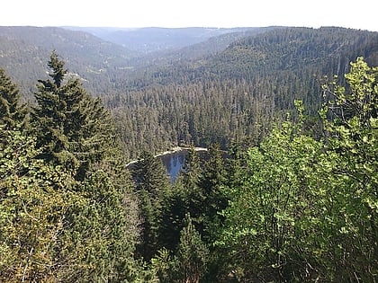
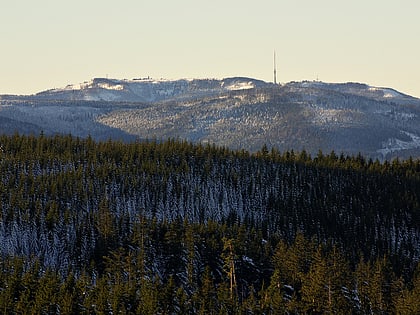
The Hochkopf is a mountain in the county of Rastatt in the Black Forest in Germany with height of 1,038.3 m above sea level. It is located northeast of the nearby Hornisgrinde, the highest mountain of the Northern Black Forest. About 700 metres away to the north, as part of the same mountain ridge, is the Pfrimmackerkopf. The plateau with its semi-protected forest or Schonwald, is a grinde, an open highland landscape typical of the Northern Black Forest, and is part of the Bühlertal conservation area. ()
Location
Baden-Württemberg
ContactAdd
Social media
Add
Day trips
Hochkopf – popular in the area (distance from the attraction)
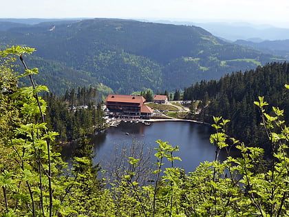
Nearby attractions include: Mummelsee, Windeck Castle, Badener Höhe, Herrenwieser See.
