Hamburg Stadtpark, Hamburg
Map
Gallery
Facts and practical information
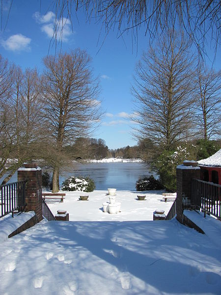
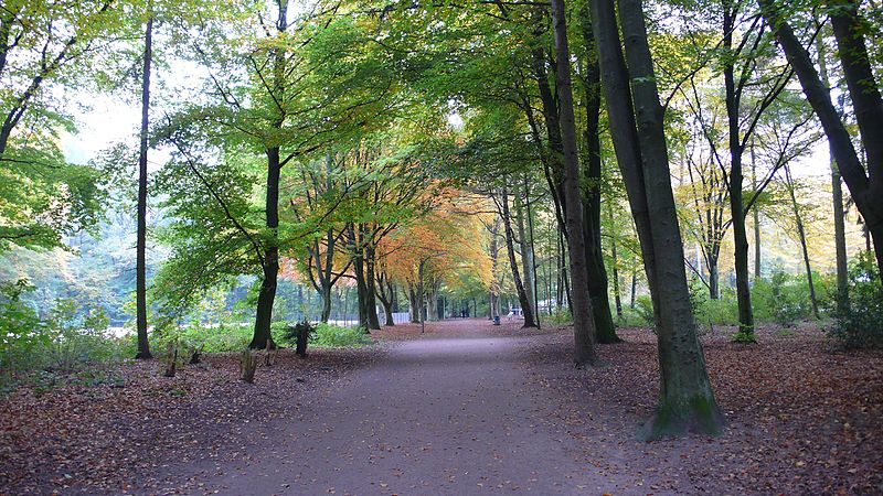
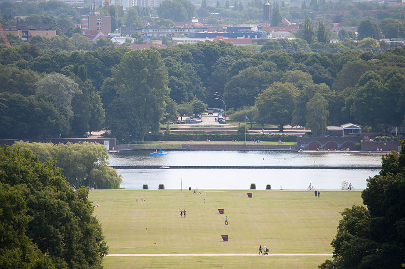
Hamburg Stadtpark is a large urban park in the district of Winterhude, in the Hamburg borough of Hamburg-Nord. Spanning an area of 148 hectares, it is the second-largest park in the city after Altona Volkspark. The Stadtpark is regarded as the "green heart" of Hamburg, despite being located some 3 km from the city centre. ()
Day trips
Hamburg Stadtpark – popular in the area (distance from the attraction)
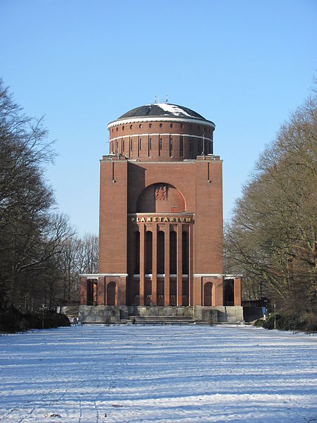
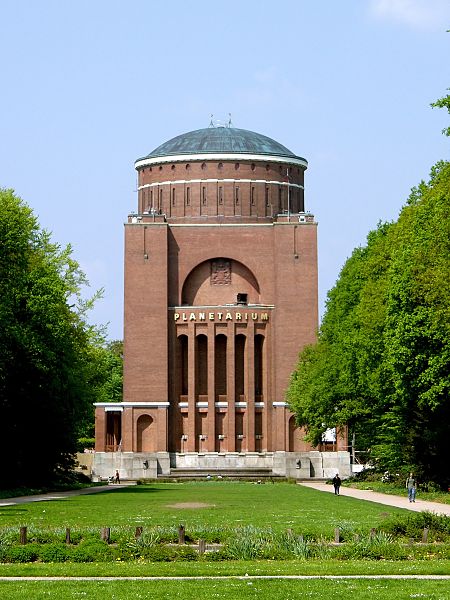
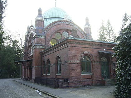
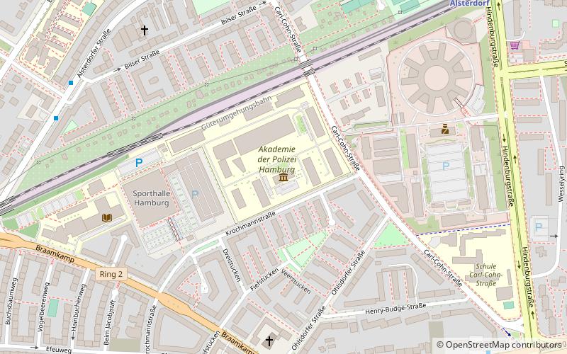
Nearby attractions include: Planetarium Hamburg, Museum der Arbeit, Ohlsdorf Jewish Cemetery, Polizeimuseum Hamburg.
Frequently Asked Questions (FAQ)
Which popular attractions are close to Hamburg Stadtpark?
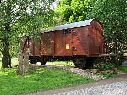
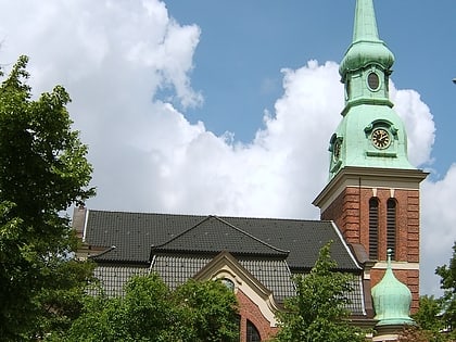
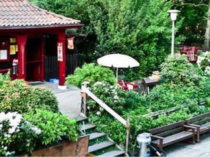
Nearby attractions include Liebesinsel, Hamburg (10 min walk), Planetarium Hamburg, Hamburg (11 min walk), Matthäuskirche, Hamburg (16 min walk), Freight Wagon Memorial, Hamburg (18 min walk).
How to get to Hamburg Stadtpark by public transport?
The nearest stations to Hamburg Stadtpark:
Bus
Metro
Light rail
Ferry
Bus
- Stadtpark • Lines: 179 (6 min walk)
- Überseering • Lines: 118, 179, 20, 26 (9 min walk)
Metro
- Borgweg • Lines: U3 (11 min walk)
- Saarlandstraße • Lines: U3 (19 min walk)
Light rail
- Alte Wöhr • Lines: S1, S11 (18 min walk)
- Rübenkamp • Lines: S1, S11 (23 min walk)
Ferry
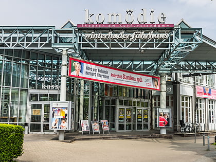
- Winterhuder Fährhaus • Lines: Alsterkreuzfahrt (27 min walk)
- Mühlenkamp • Lines: Alsterkreuzfahrt (31 min walk)


