Altstadt, Hamburg
Map
Gallery
Facts and practical information
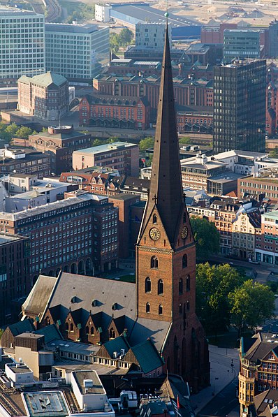
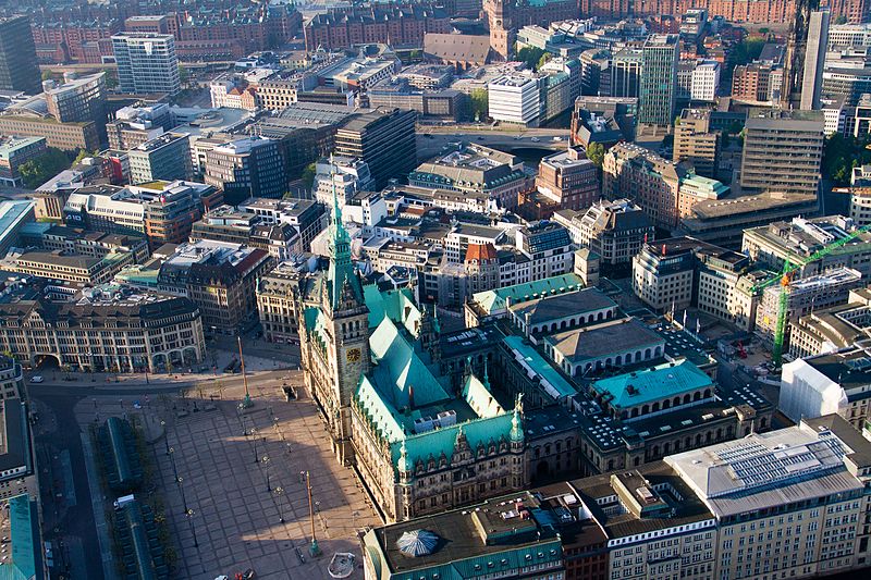
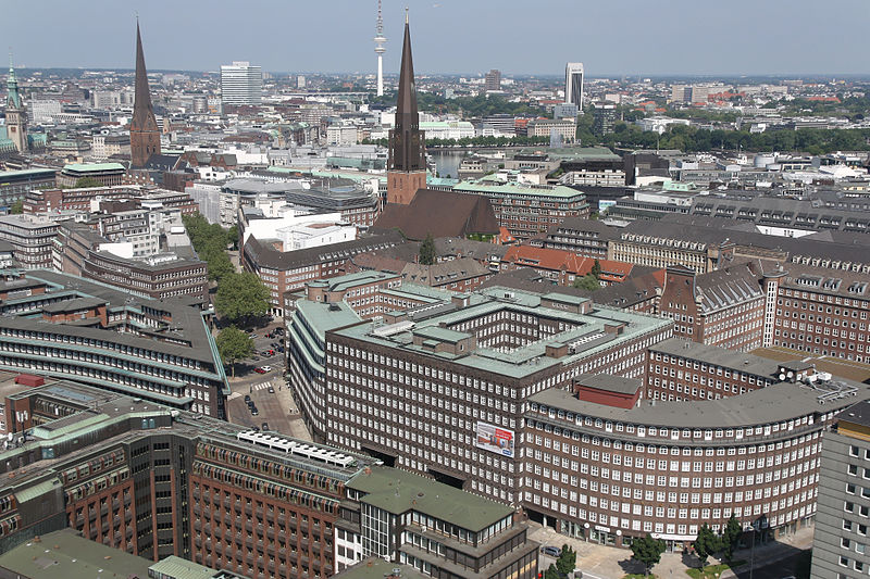
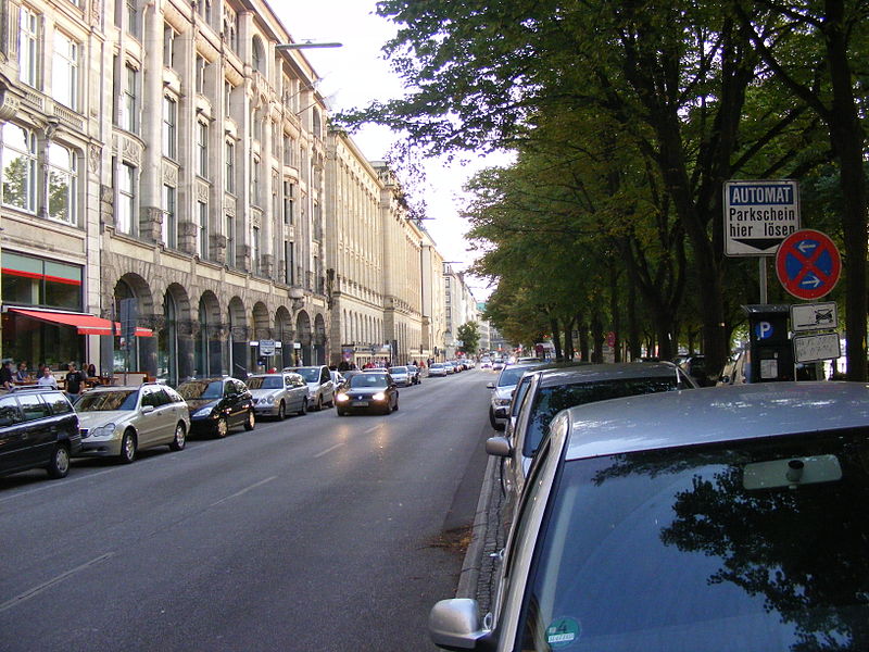
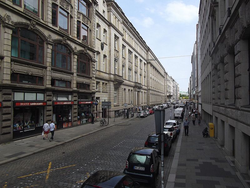
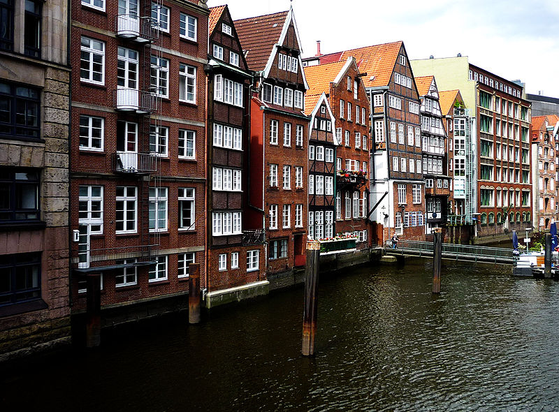
Altstadt, more precisely Hamburg-Altstadt – as not to be mistaken with Hamburg-Altona-Altstadt – is one of the inner-city districts of the Free and Hanseatic City of Hamburg, Germany. ()
Day trips
Altstadt – popular in the area (distance from the attraction)
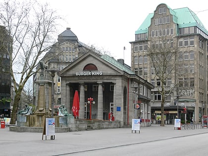
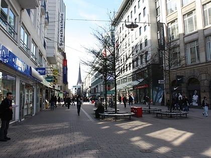
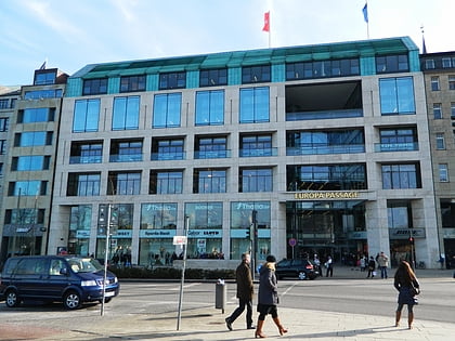
Nearby attractions include: Mönckebergstraße, Spitalerstraße, Hamburger Kunsthalle, City Hall.
Frequently Asked Questions (FAQ)
Which popular attractions are close to Altstadt?
Nearby attractions include St. James' Church, Hamburg (2 min walk), Bishop's Tower, Hamburg (3 min walk), Gerhart-Hauptmann-Platz, Hamburg (4 min walk), Chilehaus, Hamburg (4 min walk).
How to get to Altstadt by public transport?
The nearest stations to Altstadt:
Bus
Metro
Light rail
Train
Ferry
Bus
- Jakobikirchhof • Lines: 16, 17, 6, X35, X80 (2 min walk)
- Gerhart-Hauptmann-Platz • Lines: 19, 3, 5, 606, 607, 608, 609, 610, 640, 641 (3 min walk)
Metro
- Mönckebergstraße • Lines: U3 (4 min walk)
- Meßberg • Lines: U1 (5 min walk)
Light rail
- Jungfernstieg • Lines: S1, S2, S3 (8 min walk)
- Hamburg Hauptbahnhof • Lines: S1, S11, S2, S21, S3, S31 (10 min walk)
Train
- Hamburg Central Station (9 min walk)
- Hamburg Dammtor / Universität (23 min walk)
Ferry
- Jungfernstieg • Lines: Alsterkreuzfahrt (10 min walk)
- Atlantic • Lines: Alsterkreuzfahrt (15 min walk)


