Ostfriedhof, Munich
Map
Gallery
Facts and practical information
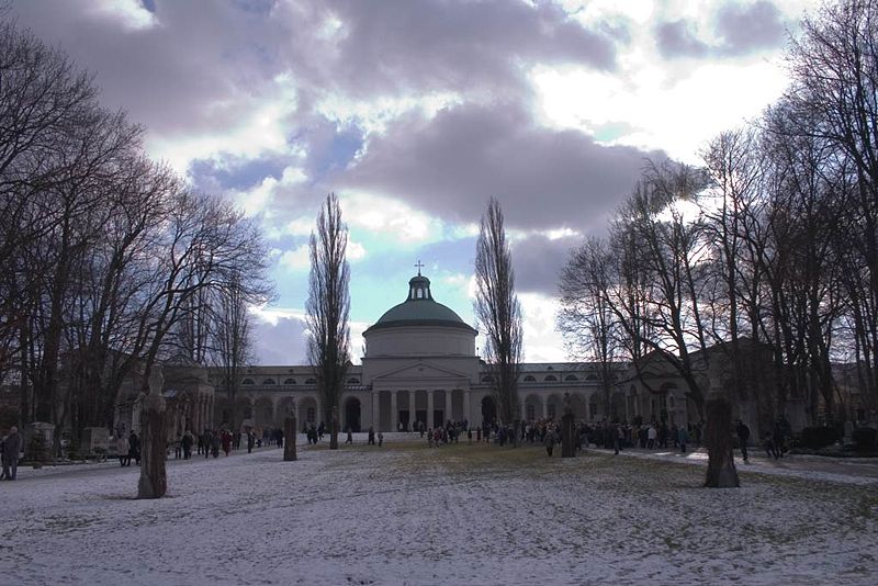
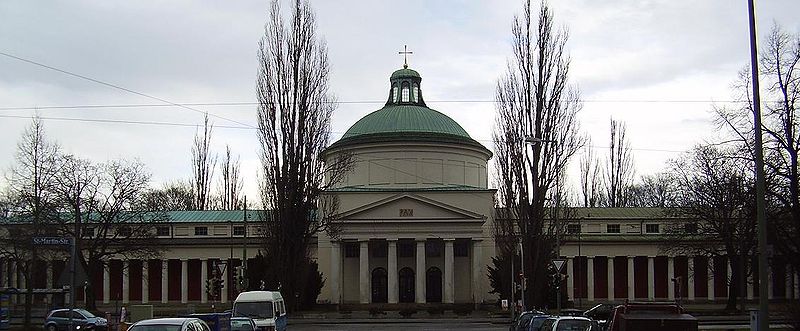
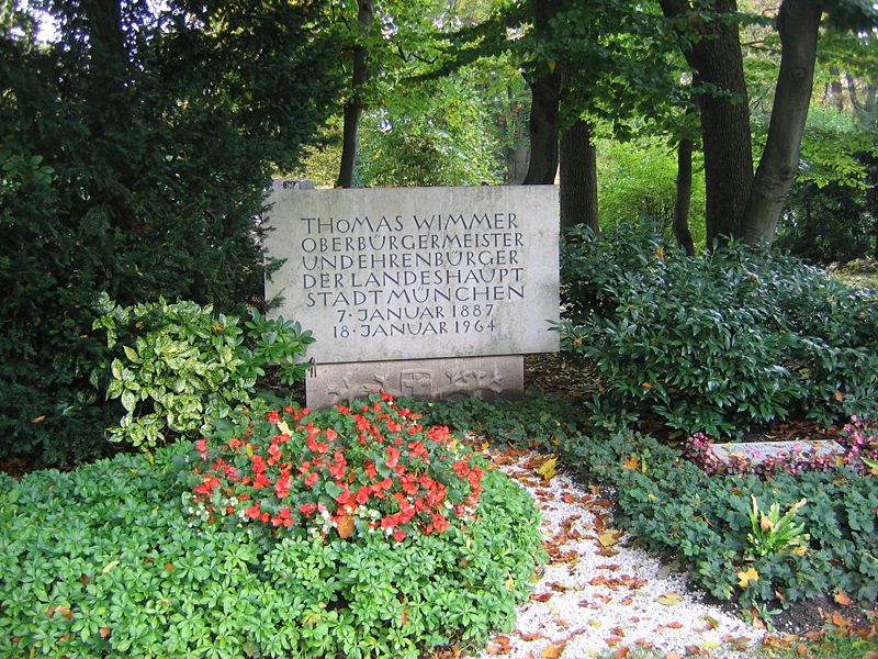
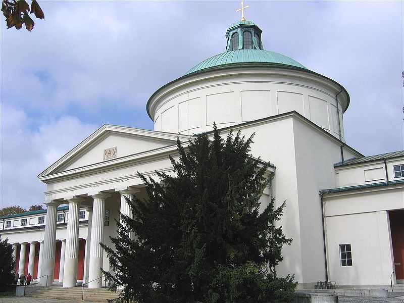
The Ostfriedhof in Munich, situated in the district of Obergiesing, was established in 1821 and is still in use. It contains an area of more than 30 hectares and approximately 34,700 burial plots. ()
Day trips
Ostfriedhof – popular in the area (distance from the attraction)
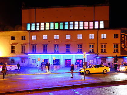
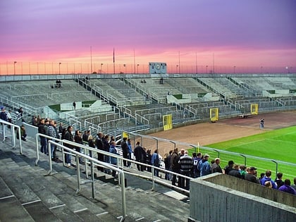
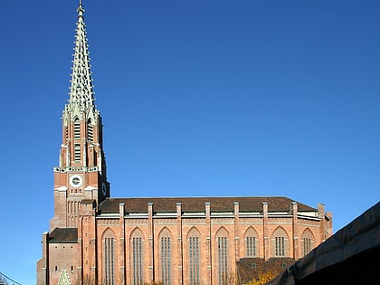
Nearby attractions include: Deutsches Museum, Blitz Club, Grünwalder Stadion, St. Lukas.
Frequently Asked Questions (FAQ)
Which popular attractions are close to Ostfriedhof?
Nearby attractions include Paulaner Brewery, Munich (9 min walk), Nockherstraße, Munich (14 min walk), Maria-Hilf-Kirche, Munich (14 min walk), Mariahilfplatz, Munich (14 min walk).
How to get to Ostfriedhof by public transport?
The nearest stations to Ostfriedhof:
Bus
Tram
Train
Metro
Bus
- Aurbacherstraße • Lines: 58, 68 (5 min walk)
- Schwester-Eubulina-Platz • Lines: 62, N45 (8 min walk)
Tram
- St.-Martins-Platz • Lines: 18, E7 (6 min walk)
- Werinherstraße • Lines: 18, E7 (9 min walk)
Train
- Sankt-Martin-Straße (7 min walk)
- Giesing (17 min walk)
Metro
- Untersbergstraße • Lines: U2, U7, U8 (14 min walk)
- Silberhornstraße • Lines: U2, U7, U8 (15 min walk)


