Brandberge, Halle
Map

Map

Facts and practical information
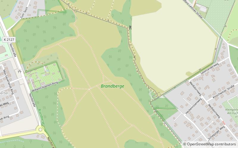
The Brandberge is a protected natural area in Saxony-Anhalt, Germany, in the northwest of Halle. It is part of the Naturpark Unteres Saaletal, a protected landscape area which extends along the River Saale from Halle to Nienburg. In the past it has been used for military exercises and winter sports; during the Nazi era, the first official Thingplatz arena was built there. ()
Alternative names: Area: 227.34 acres (0.3552 mi²)Elevation: 276 ft a.s.l.Coordinates: 51°30'51"N, 11°55'38"E
Address
Stadtbezirk West (Kröllwitz)Halle
ContactAdd
Social media
Add
Best Ways to Experience the Park
Wildlife
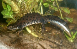
AnimalsSee what popular animal species you can meet in this location.
More
Show more
Day trips
Brandberge – popular in the area (distance from the attraction)
Nearby attractions include: Moritzburg, Burg Giebichenstein University of Art and Design, Burg Giebichenstein, Botanical Garden.
Frequently Asked Questions (FAQ)
How to get to Brandberge by public transport?
The nearest stations to Brandberge:
Bus
Tram
Bus
- Wilhelm-Koenen-Ring • Lines: 21, 22, 97 (8 min walk)
- Kröllwitz • Lines: 21, 22, 97 (12 min walk)
Tram
- Kröllwitz • Lines: 4, 5, 7, 94 (12 min walk)
- Schwuchtstraße • Lines: 7 (17 min walk)


