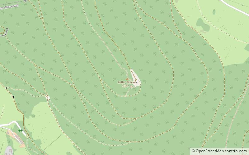
Zeller Blauen
Map
![Zeller Blauen location map](https://tzmedia.b-cdn.net/media/images/static-maps/de/47_7342_7_85153.jpg)
Map
![Zeller Blauen location map](https://tzmedia.b-cdn.net/media/images/static-maps/de/47_7342_7_85153.jpg)
Facts and practical information
The Zeller Blauen is a mountain, 1,077.1 m above sea level, in the southern Black Forest in Germany. It belongs to Zell im Wiesental in the Baden-Württemberg county of Lörrach. ()
Location
Baden-Württemberg
ContactAdd
Social media
Add
Day trips
Zeller Blauen – popular in the area (distance from the attraction)
Nearby attractions include: Hornberg Basin, Hohe Möhr, Barockschanze, Nonnenmattweiher.