Hohe Möhr
#487 among destinations in Germany


Facts and practical information
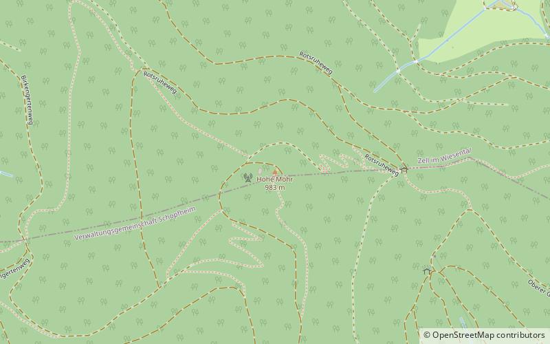
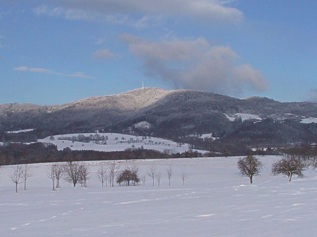
The Hohe Möhr is a mountain, 983.6 m above sea level, in the Black Forest near Schopfheim in the German state of Baden-Württemberg. ()
Baden-WürttembergGermany
Hohe Möhr – popular in the area (distance from the attraction)
Nearby attractions include: Hornberg Basin, Eichener See, Erdmannshöhle, Hochkopf.
 Nature, Natural attraction, Lake
Hornberg Basin
121 min walk • Nestled within the picturesque Black Forest of Germany, Hornberg Basin is a tranquil lake that offers visitors a serene escape from the hustle and bustle of daily life. This idyllic body of water is surrounded by lush forested hills, creating a perfect backdrop for...
 Nature, Natural attraction, Lake
Eichener See
85 min walk • Nestled in the serene landscapes of Germany, Eichener See is a hidden gem that promises an escape into nature's tranquility. This charming lake, known for its crystal-clear waters and peaceful surroundings, offers a respite from the hustle and bustle of city life.
 Natural attraction, Cave
Erdmannshöhle, Hasel
82 min walk • The Erdmannshöhle is a stalactite or flowstone cave in the village Hasel between Schopfheim and Wehr, 20 km east of Lörrach in Baden-Württemberg in Germany.
 Nature, Natural attraction, Mountain
Hochkopf
187 min walk • The Hochkopf is a wooded ridge north of the village of Todtmoos in the southern part of the High Black Forest. At 1,263.4 m above sea level its summit is one of the 20 highest points in the German state of Baden-Württemberg.
 Nature, Natural attraction, Hotel
Hohe Flum, Schopfheim
140 min walk • Hohe Flum is a mountain of Baden-Württemberg, Germany.
 Archaeological site, Baroque architecture
Barockschanze, Gersbach
89 min walk • The Baroque fortifications in the Black Forest, also called Baroque Schanzen or Black Forest lines, are historical, military earthworks, known as schanzen, that were built in the Black Forest in what is now Germany.
 Nature, Natural attraction, Mountain
Zeller Blauen
78 min walk • The Zeller Blauen is a mountain, 1,077.1 m above sea level, in the southern Black Forest in Germany. It belongs to Zell im Wiesental in the Baden-Württemberg county of Lörrach.
 Church
Protestant church, Schopfheim
96 min walk • The Protestant Town Church in Schopfheim was built in 1889-1892 in the neo-Gothic style. It has served as the main church for the Protestant community ever since, replacing the Alte Stadtkirche.
 Forts and castles, Ruins
Burgruine Werrach, Wehr
123 min walk • Werrach Ruin, also called Wehr and usually Schlössle by local residents, is the ruins of a hilltop castle on a hill, about 50 meters above the valley floor of the Wehra River at the exit of the Wehra Valley above the town of Wehr in the district ...
 Church
Evangelische Kirche Maulburg, Maulburg
150 min walk • The Evangelical Church of Maulburg in the municipality of Maulburg im Wiesental was rebuilt in the 1750s; there is documentary evidence of the first church in the village dating back to the 13th century.
 Church
Filialkirche St. Paulus, Maulburg
140 min walk • St. Paul in the municipality of Maulburg im Wiesental is a Roman Catholic filial church built in the mid-1960s.
