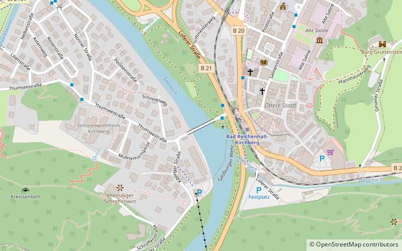
Luitpoldbrücke, Bad Reichenhall
Map

Map

Facts and practical information
The Luitpold Bridge is a stone arch bridge over the Saalach River in Bad Reichenhall. The listed bridge is named after the Bavarian Prince Regent Luitpold.
Coordinates: 47°43'7"N, 12°52'20"E
Address
Bad Reichenhall
ContactAdd
Social media
Add
Day trips
Luitpoldbrücke – popular in the area (distance from the attraction)
Nearby attractions include: RupertusTherme Spa & Fitness Resort, The Alte Saline, Predigtstuhl Cable Car, St. Nicholas.
Frequently Asked Questions (FAQ)
Which popular attractions are close to Luitpoldbrücke?
Nearby attractions include The Predigtstuhlbahn, Bad Reichenhall (4 min walk), St. Nicholas, Bad Reichenhall (5 min walk), The Alte Saline, Bad Reichenhall (8 min walk), Burg Gruttenstein, Bad Reichenhall (10 min walk).
How to get to Luitpoldbrücke by public transport?
The nearest stations to Luitpoldbrücke:
Train
Bus
Train
- Bad Reichenhall-Kirchberg (3 min walk)
- Bad Reichenhall (26 min walk)
Bus
- Bad Reichenhall Tiroler Tor • Lines: 1, 180 (3 min walk)
- Kirchberg Altenheim • Lines: 2, 9526 (7 min walk)


