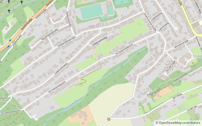
Stiepel, Bochum
Map

Map

Facts and practical information
Stiepel is a southern district of the City of Bochum in the Ruhr area in North Rhine-Westphalia, Germany. It is on the Ruhr River, which is its border to the neighbouring cities of Hattingen and Witten. Stiepel used to be a municipality in the rural district of Bochum, but was integrated into Bochum in 1929. ()
Address
Bochum Süd (Stiepel)Bochum
ContactAdd
Social media
Add
Day trips
Stiepel – popular in the area (distance from the attraction)
Nearby attractions include: Bochumer Golf Club e.V., Kunstsammlung der Ruhruniversität, Dorfkirche Stiepel, Stiepel Priory.
Frequently Asked Questions (FAQ)
Which popular attractions are close to Stiepel?
Nearby attractions include Stiepel Priory, Bochum (10 min walk), Dorfkirche Stiepel, Bochum (19 min walk).
How to get to Stiepel by public transport?
The nearest stations to Stiepel:
Bus
Bus
- Brockhauser Straße • Lines: Sb37 (24 min walk)
- Ringstraße • Lines: 350, Ne4 (36 min walk)


