Mehringdamm, Berlin
Map
Gallery
Facts and practical information
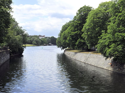
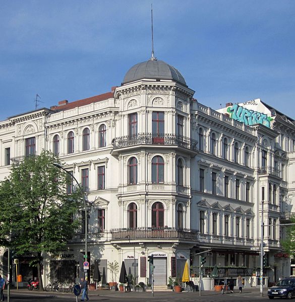
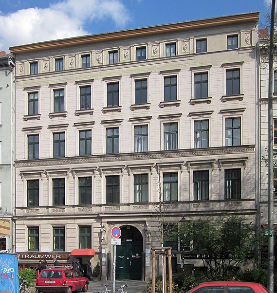
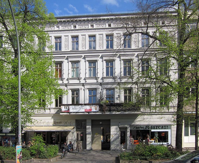
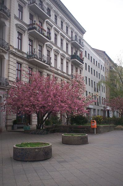
The Mehringdamm is a street in southern Kreuzberg, Berlin. In the north it starts at Mehringbrücke and ends - with its southernmost houses already belonging to Tempelhof locality - on Platz der Luftbrücke. It is the historical southbound Berlin-Halle highway, now forming the federal route 96. The main junction of Mehringdamm is with the 19th-century ring road around Berlin's inner city, named Yorckstraße west, and Gneisenaustraße east of Mehringdamm. ()
Day trips
Mehringdamm – popular in the area (distance from the attraction)
Nearby attractions include: German Museum of Technology, Jewish Museum, Viktoriapark, Kreuzberg.
Frequently Asked Questions (FAQ)
Which popular attractions are close to Mehringdamm?
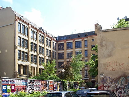
Nearby attractions include Mehringhof Theater, Berlin (4 min walk), Kreuzberg, Berlin (8 min walk), Nationaldenkmal, Berlin (8 min walk), Viktoriapark, Berlin (8 min walk).
How to get to Mehringdamm by public transport?
The nearest stations to Mehringdamm:
Metro
Train
Bus
Metro
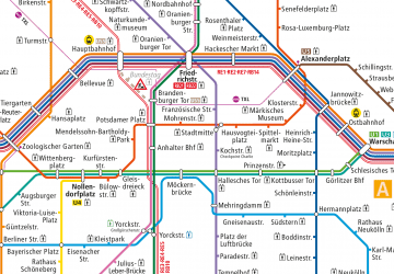
- U Platz der Luftbrücke • Lines: U6 (8 min walk)
- U Mehringdamm • Lines: U6, U7 (8 min walk)
Train
- U Möckernbrücke (17 min walk)
- Berlin Südkreuz (33 min walk)
Bus
- S Bahnhof Südkreuz (35 min walk)



 Metro
Metro

