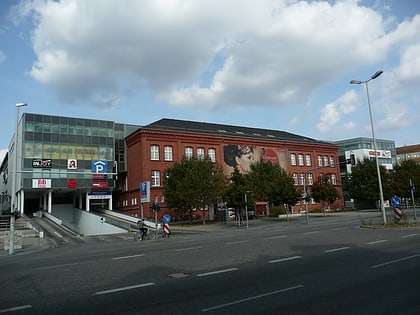
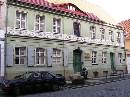
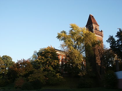
Tuchfabrik Hasselbach & Westerkamp, Cottbus
Map
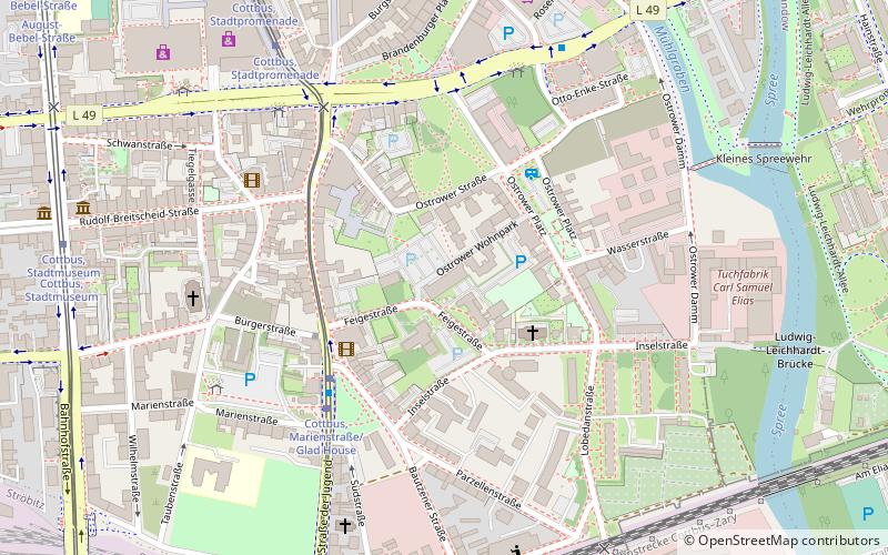
Map

Facts and practical information
The former cloth factory "Hasselbach & Westerkamp" with factory building, the factory owner's villa with garden and the office building is a listed group of buildings in Cottbus.
Coordinates: 51°45'18"N, 14°20'8"E
Address
7 Ostrower WohnparkCottbus
ContactAdd
Social media
Add
Day trips
Tuchfabrik Hasselbach & Westerkamp – popular in the area (distance from the attraction)
Nearby attractions include: Staatstheater, Stadion der Freundschaft, Tierpark Cottbus, Blechen-Carré.
Frequently Asked Questions (FAQ)
Which popular attractions are close to Tuchfabrik Hasselbach & Westerkamp?
Nearby attractions include Glad-House Jugendkulturzentrum, Cottbus (3 min walk), Spremberger Turm, Cottbus (6 min walk), Stadtmuseum Cottbus, Cottbus (9 min walk), Wendisches Museum, Cottbus (9 min walk).
How to get to Tuchfabrik Hasselbach & Westerkamp by public transport?
The nearest stations to Tuchfabrik Hasselbach & Westerkamp:
Tram
Train
Bus
Tram
- Marienstraße/Glad House • Lines: 1, 3, 4 (4 min walk)
- Stadtpromenade • Lines: 1, 3, 4 (7 min walk)
Train
- Stadion der Freundschaft (14 min walk)
- Cottbus / Chóśebuz (16 min walk)
Bus
- Am Doll • Lines: 2N (18 min walk)
- Hubertstraße • Lines: 16 (19 min walk)


