Düsseldorf-Pempelfort, Düsseldorf
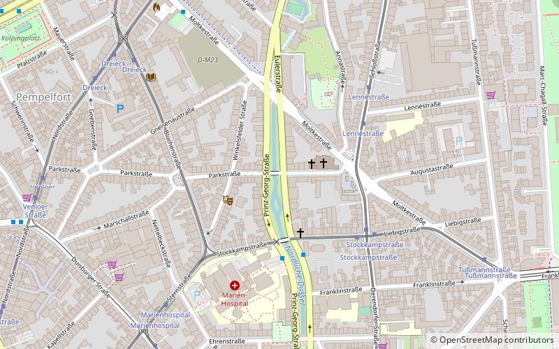
Map
Map

Facts and practical information
Pempelfort is a city part in the North-east of the central District 1 of Düsseldorf. ()
Address
Stadtbezirke 01 (Pempelfort)Düsseldorf
ContactAdd
Social media
Add
Day trips
Düsseldorf-Pempelfort – popular in the area (distance from the attraction)
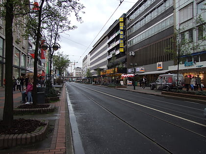
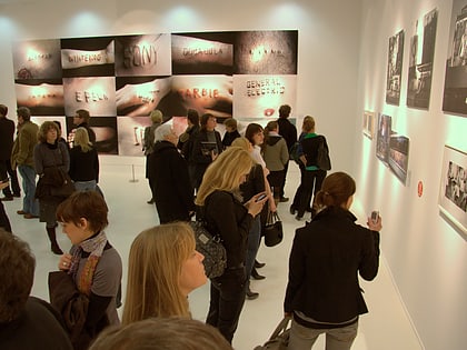
Nearby attractions include: Schadowstraße, Kunstsammlung Nordrhein-Westfalen, Museum Kunstpalast, NRW Forum.
Frequently Asked Questions (FAQ)
Which popular attractions are close to Düsseldorf-Pempelfort?
Nearby attractions include St. Rochus, Düsseldorf (9 min walk), Church of the Holy Cross, Düsseldorf (9 min walk), Christusfigur, Düsseldorf (9 min walk), St. Adolfus, Düsseldorf (13 min walk).
How to get to Düsseldorf-Pempelfort by public transport?
The nearest stations to Düsseldorf-Pempelfort:
Tram
Bus
Train
Metro
Tram
- Stockkampstraße • Lines: 704, 706 (4 min walk)
- Lennéstraße • Lines: 704 (4 min walk)
Bus
- Münsterstraße/Feuerwache • Lines: 756, 758 (8 min walk)
- Venloer Straße • Lines: 722 (9 min walk)
Train
- Düsseldorf Zoo (12 min walk)
- Düsseldorf-Derendorf (19 min walk)
Metro
- Nordstraße • Lines: U78, U79 (12 min walk)
- Victoriaplatz/Klever Straße • Lines: U78, U79 (14 min walk)
