Markkleeberger See, Leipzig
Map
Gallery
Facts and practical information
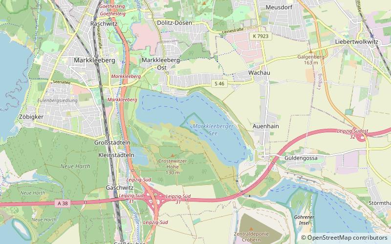
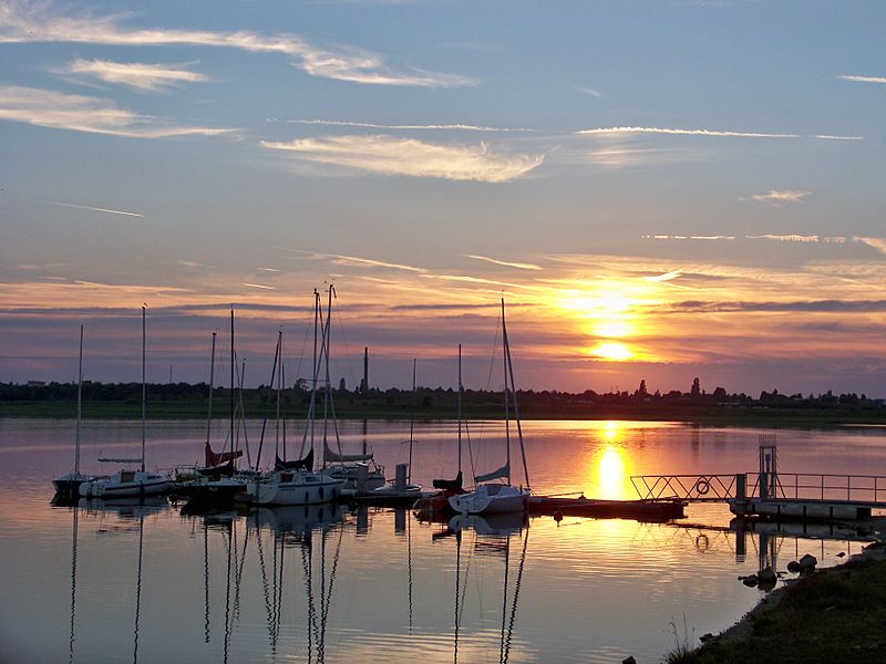
Markkleeberger See is a lake in Saxony, Germany, next to Markkleeberg, a suburb on the south side of Leipzig. At an elevation of 112.5 m, its surface area is 2.52 km². It is a former open-pit coal mine, flooded in 1999 with groundwater and developed in 2006 as a tourist area. On its southeastern shore is Germany's only pump-powered artificial whitewater slalom course, the Kanupark Markkleeberg. The lake is a part of the Central German Lake District. ()
Address
Leipzig
ContactAdd
Social media
Add
Day trips
Markkleeberger See – popular in the area (distance from the attraction)
Nearby attractions include: Belantis, Völkerschlachtdenkmal, Kanupark Markkleeberg, Leipzig Panometer.
Frequently Asked Questions (FAQ)
How to get to Markkleeberger See by public transport?
The nearest stations to Markkleeberger See:
Bus
Tram
Bus
- Markkleeberg, Goldene Höhe • Lines: 106, Pp2 (16 min walk)
- Markkleeberg, Seepromenade • Lines: 106 (16 min walk)
Tram
- Markkleeberg-Ost, Schillerplatz • Lines: 11 (23 min walk)


