Templiner See, Potsdam
Map

Gallery

Facts and practical information
Alternative names: Length: 3.6 miWidth: 3937 ftMaximum depth: 20 ftElevation: 95 ft a.s.l.Coordinates: 52°21'54"N, 13°1'1"E
Address
Westliche Vorstadt (Wildpark)Potsdam
ContactAdd
Social media
Add
Day trips
Templiner See – popular in the area (distance from the attraction)
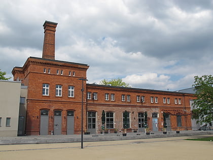
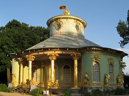
Nearby attractions include: New Palace, Waschhaus, Schloss Charlottenhof, Römische Bäder.
Frequently Asked Questions (FAQ)
How to get to Templiner See by public transport?
The nearest stations to Templiner See:
Ferry
Bus
Train
Tram
Ferry
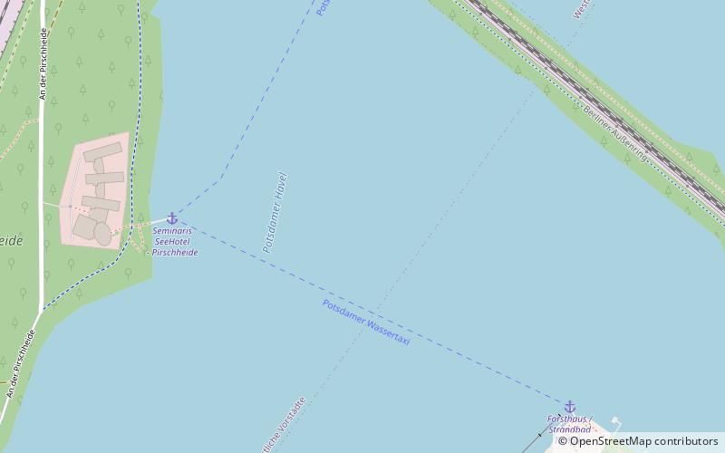
- Seminaris SeeHotel - Pirschheide • Lines: Potsdamer Wassertaxi (5 min walk)
- Forsthaus / Strandbad Templin • Lines: Potsdamer Wassertaxi (7 min walk)
Bus
- Forsthaus Templin • Lines: 607 (12 min walk)
- Kieskutenberg • Lines: 607 (14 min walk)
Train
- Potsdam Pirschheide (15 min walk)
Tram
- Bahnhof Pirschheide • Lines: 91, 94 (18 min walk)
- Luftschiffhafen • Lines: 91, 94 (28 min walk)


