Kaiserbrücke, Wiesbaden
Map

Map

Facts and practical information
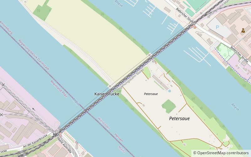
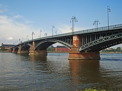
The Kaiserbrücke, today officially the Nordbrücke, is a railway span on the Mainz rail bypass across the Rhine at the north end of Mainz in the state of Rhineland-Palatinate, Germany. Built between 1901 and 1904, it was named for the German Emperor Wilhelm II, who officially opened it on 1 May 1904. It formed an important part of the German railway system, as well as being an important logistical link for war transports. ()
Alternative names: Opened: 1955 (71 years ago)Architectural style: Art NouveauCoordinates: 50°1'26"N, 8°15'22"E
Address
Amöneburg (Amöneburger Petersaue)Wiesbaden
ContactAdd
Social media
Add
Day trips
Kaiserbrücke – popular in the area (distance from the attraction)
Nearby attractions include: Biebrich Palace, Kurfürstliches Schloss, Christ Church, Römisch-Germanisches Zentralmuseum.
Frequently Asked Questions (FAQ)
Which popular attractions are close to Kaiserbrücke?
Nearby attractions include Port of Mainz, Mainz (16 min walk), Kunsthalle Mainz, Mainz (22 min walk).
How to get to Kaiserbrücke by public transport?
The nearest stations to Kaiserbrücke:
Tram
Bus
Train
Tram
- Zollhafen/Inge-Reitz-Straße • Lines: 59 (10 min walk)
- Straßenbahnamt / LBBW • Lines: 59 (15 min walk)
Bus
- Niederfeldstraße • Lines: 9 (11 min walk)
- Mudra-Kaserne • Lines: 33, 6, 9 (13 min walk)
Train
- Mainz Nord (14 min walk)
- Mainz-Waggonfabrik (30 min walk)


