Synagogue, Esslingen
Map

Map

Facts and practical information
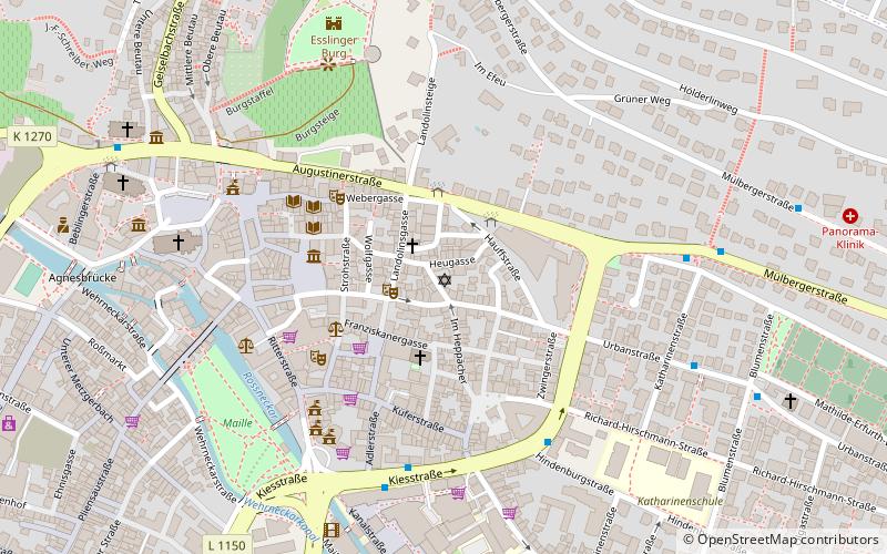
The synagogue in Esslingen is located at Heppächer 3 in Esslingen am Neckar. The former tailors' guild house was converted into a synagogue in 1819, desecrated in 1938, and has served as a synagogue again since March 2012.
Coordinates: 48°44'30"N, 9°18'41"E
Address
3 Im HeppächerEsslingen
ContactAdd
Social media
Add
Day trips
Synagogue – popular in the area (distance from the attraction)
Nearby attractions include: Merkel'sches Schwimmbad, Stadtkirche St. Dionys, Neckarfreibad, Württembergische Landesbühne Esslingen.
Frequently Asked Questions (FAQ)
Which popular attractions are close to Synagogue?
Nearby attractions include Neckar Forum, Esslingen (3 min walk), Württembergische Landesbühne Esslingen, Esslingen (4 min walk), Wolfstor, Esslingen (4 min walk), Maille, Esslingen (6 min walk).
How to get to Synagogue by public transport?
The nearest stations to Synagogue:
Bus
Trolleybus
Train
Bus
- Neckar Forum • Lines: 102, 103, 105, 108, 110, 122 (2 min walk)
- Hochschule • Lines: 111, 112, 122 (5 min walk)
Trolleybus
- Merkel'sches Bad • Lines: 101 (9 min walk)
- Pliensauturm • Lines: 101, 118 (10 min walk)
Train
- Esslingen (15 min walk)
- Oberesslingen (28 min walk)


