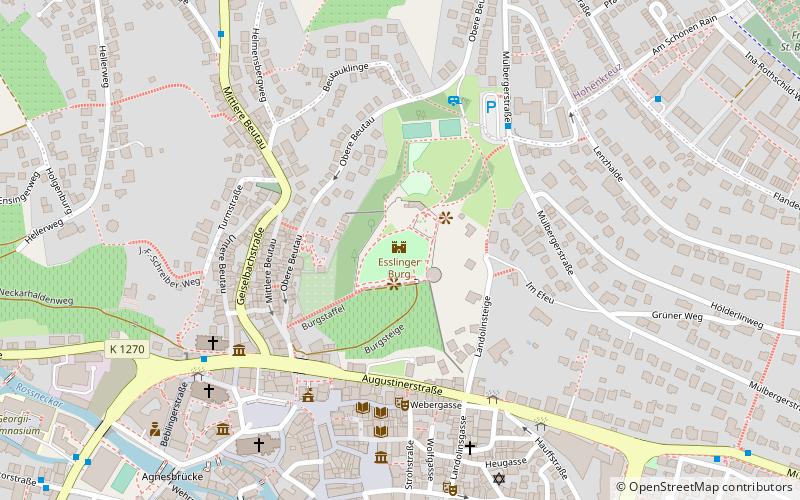
Esslinger Burg, Esslingen
Map

Map

Facts and practical information
The so-called castle in Esslingen am Neckar is a preserved part of the medieval city fortifications, located above the former and current city center.
Coordinates: 48°44'42"N, 9°18'34"E
Day trips
Esslinger Burg – popular in the area (distance from the attraction)
Nearby attractions include: Merkel'sches Schwimmbad, Stadtkirche St. Dionys, Neckarfreibad, Württembergische Landesbühne Esslingen.
Frequently Asked Questions (FAQ)
Which popular attractions are close to Esslinger Burg?
Nearby attractions include Jewish Cemetery, Esslingen (4 min walk), Münster St. Paul, Esslingen (6 min walk), Stadtkirche St. Dionys, Esslingen (7 min walk), Synagogue, Esslingen (7 min walk).
How to get to Esslinger Burg by public transport?
The nearest stations to Esslinger Burg:
Bus
Trolleybus
Train
Bus
- Burg • Lines: 110, 112 (5 min walk)
- Neckar Forum • Lines: 102, 103, 105, 108, 110, 122 (5 min walk)
Trolleybus
- Schelztor • Lines: 101 (11 min walk)
- Pliensauturm • Lines: 101, 118 (14 min walk)
Train
- Esslingen (16 min walk)
- Oberesslingen (34 min walk)


