Trostbrücke, Hamburg
Map
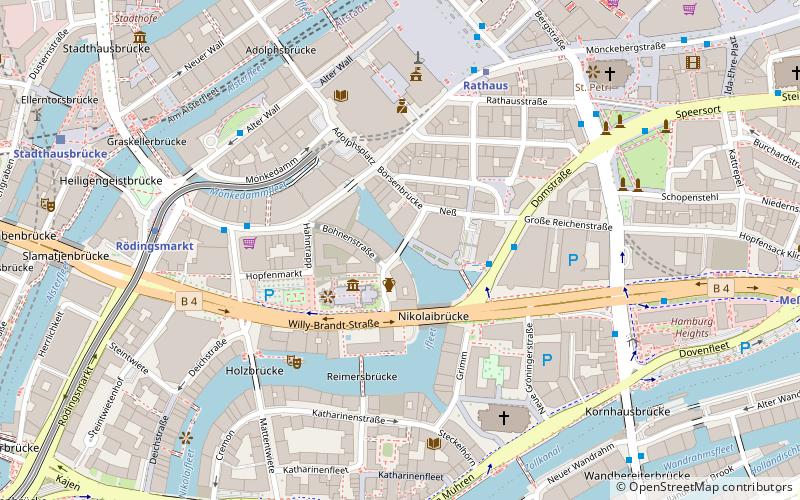
Map

Facts and practical information
The Trostbrücke spans the Nikolaifleet in Hamburg. It originally connected the Episcopal old town around the area of the cathedral and St. Peter's Church with the count's new town. This was the secular center of the city and the innermost part of the harbor from the Middle Ages until the Hamburg fire in 1842. Today, both areas belong to the Hamburg-Altstadt district.
Coordinates: 53°32'53"N, 9°59'32"E
Day trips
Trostbrücke – popular in the area (distance from the attraction)
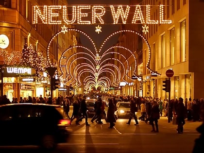
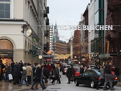
Nearby attractions include: Mönckebergstraße, Neuer Wall, Große Bleichen, City Hall.
Frequently Asked Questions (FAQ)
Which popular attractions are close to Trostbrücke?
Nearby attractions include Zollenbrücke, Hamburg (2 min walk), St. Nicholas Church, Hamburg (2 min walk), Hamburger Börse, Hamburg (4 min walk), Das Schiff, Hamburg (4 min walk).
How to get to Trostbrücke by public transport?
The nearest stations to Trostbrücke:
Bus
Metro
Light rail
Ferry
Train
Bus
- Domstraße • Lines: 16, 17 (3 min walk)
- U Rödingsmarkt • Lines: 3, 601, 607, 608, 609, 610, 641, X35, X80 (4 min walk)
Metro
- Rathaus • Lines: U3 (5 min walk)
- Rödingsmarkt • Lines: U3 (6 min walk)
Light rail
- Jungfernstieg • Lines: S1, S2, S3 (8 min walk)
- Stadthausbrücke • Lines: S1, S2, S3 (8 min walk)
Ferry
- Jungfernstieg • Lines: Alsterkreuzfahrt (10 min walk)
- Atlantic • Lines: Alsterkreuzfahrt (22 min walk)
Train
- Hamburg Central Station (18 min walk)
- Hamburg Dammtor / Universität (24 min walk)

