Hahnenklee Crags, Harz National Park

Gallery (1)
Map
Map
Facts and practical information
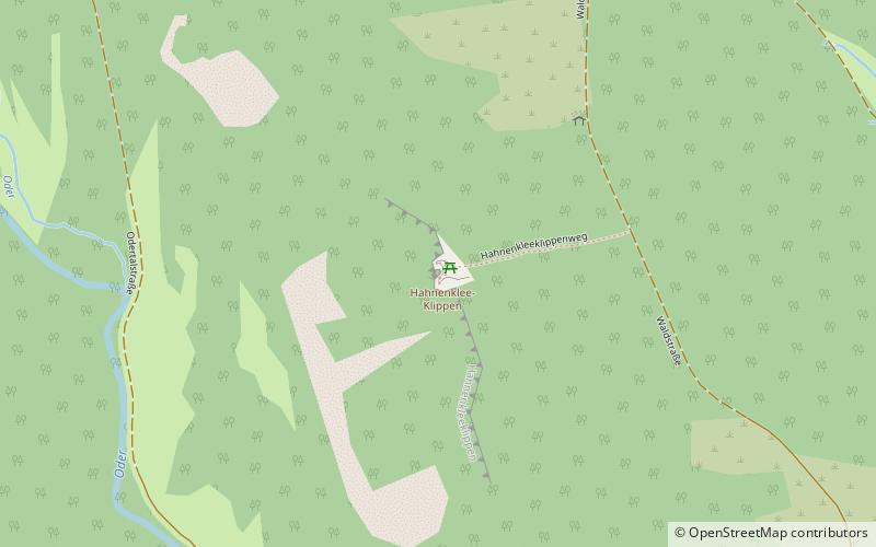
The Hahnenklee Crags are a rock formation west of Braunlage in the district of Goslar in Lower Saxony, Germany. They consist of hornfels. ()
Address
Harz National Park
ContactAdd
Social media
Add
Getting there by public transportation
Public transportation stops near this location
- Bus
 Bus
Bus
- Calculate routeKönigskrug 23 min walk
Day trips


Frequently Asked Questions (FAQ)
How to get to Hahnenklee Crags by public transport?
The nearest stations to Hahnenklee Crags:
Bus
Bus
- Königskrug • Lines: 820 (23 min walk)