Stadtbad Krefeld, Krefeld
Map
Gallery
Facts and practical information
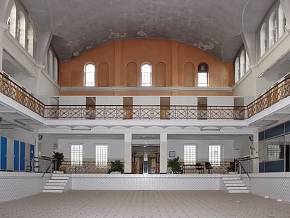
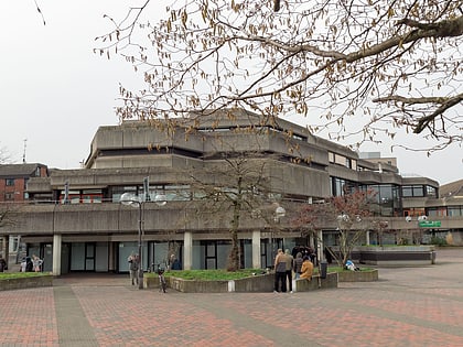
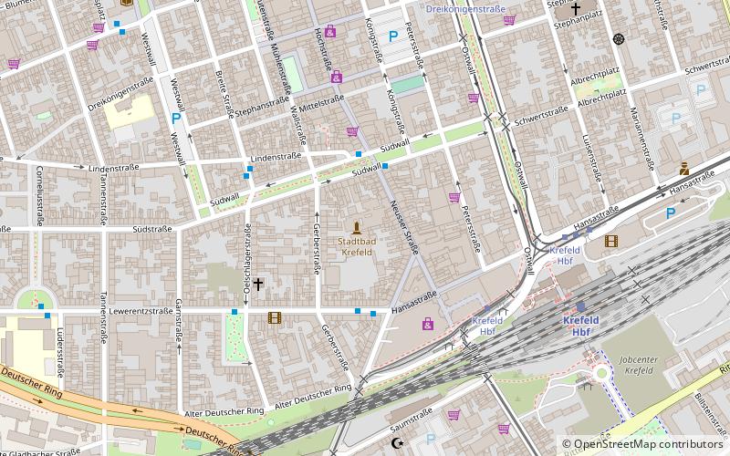
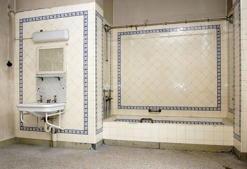
Krefelder Stadtbad is a bathing establishment opened in 1890 on Neusser Straße in the center of Krefeld. In 2000, operations were suspended until further notice and the bath was closed for the time being after more than 110 years. Its further use remains unclear to this day.
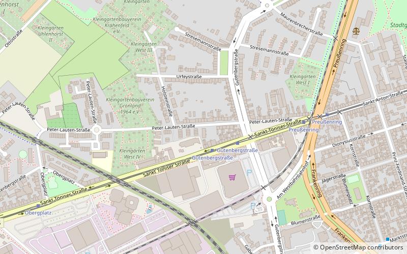
Coordinates: 51°19'37"N, 6°33'54"E
Day trips
Stadtbad Krefeld – popular in the area (distance from the attraction)
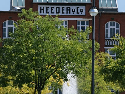
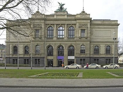
Nearby attractions include: König Palast, Fabrik Heeder, Villa Merländer, Krieewelsche Pappköpp.
Frequently Asked Questions (FAQ)
Which popular attractions are close to Stadtbad Krefeld?
Nearby attractions include Südbahnhof, Krefeld (5 min walk), Kaiser Wilhelm Museum, Krefeld (9 min walk), Mennonitenkirche, Krefeld (11 min walk), Fabrik Heeder, Krefeld (11 min walk).
How to get to Stadtbad Krefeld by public transport?
The nearest stations to Stadtbad Krefeld:
Bus
Tram
Metro
Train
Light rail
Bus
- Gerberstraße • Lines: 058, Ne8 (3 min walk)
- Krefeld Hbf • Lines: 051, 052, 054, 057, 058, 060, 061, 069, 076, 077, 079, 927, Ne27, Ne6, Ne7, Ne8 (4 min walk)
Tram
- Krefeld Hbf • Lines: 041, 042, 043, 044 (6 min walk)
- Dreikönigenstraße • Lines: 041, 042, 043, 044 (7 min walk)
Metro
- Krefeld Hbf • Lines: U70, U76 (6 min walk)
- Rheinstraße • Lines: U70, U76 (11 min walk)
Train
- Krefeld Central Station (6 min walk)
- Krefeld Nord (26 min walk)
Light rail
- Rheinstraße • Lines: 041, 042, 043, 044 (11 min walk)
- Dießem (17 min walk)
