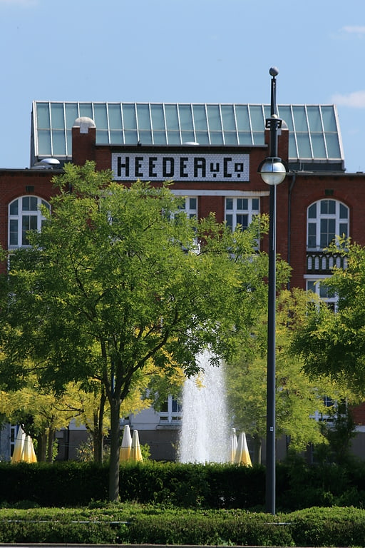
Krieewelsche Pappköpp, Krefeld
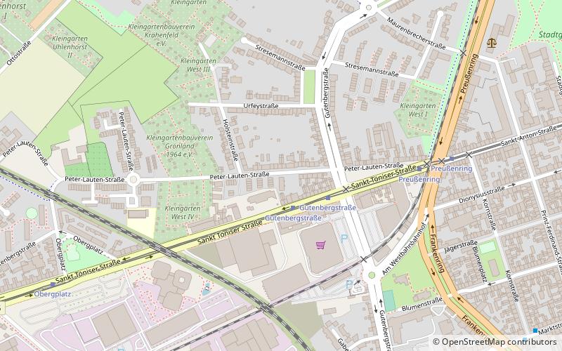
Map
Facts and practical information
Address
Kempener Feld - Baackeshof (Kempener Feld)Krefeld
ContactAdd
Social media
Add
Getting there by public transportation
Public transportation stops near this location
- Metro
- Bus
- Tram
- Light rail
- Train
 Metro
Metro
- Calculate routeGutenbergstraße 2 min walk
- Calculate routePreußenring 6 min walk
- Calculate routeObergplatz 9 min walk
- Calculate routeGirmesgath 15 min walk
- Calculate routeDe-Greiff-Straße 17 min walk
- Calculate routeAdlerstraße 18 min walk
- Calculate routeKrefeld Nord 17 min walk
- Calculate routeKrefeld Central Station 31 min walk
- Calculate routeRheinstraße 25 min walk
- Calculate routeKrefeld Hbf 30 min walk
- Calculate routeRheinstraße 25 min walk
Day trips


Frequently Asked Questions (FAQ)
Which popular attractions are close to Krieewelsche Pappköpp?
Nearby attractions include Kaiser Wilhelm Museum, Krefeld (18 min walk), König Palast, Krefeld (18 min walk), Sankt Dionysius, Krefeld (19 min walk), Mennonitenkirche, Krefeld (22 min walk).
How to get to Krieewelsche Pappköpp by public transport?
The nearest stations to Krieewelsche Pappköpp:
Tram
Bus
Train
Metro
Light rail
Tram
- Gutenbergstraße • Lines: 041 (2 min walk)
- Preußenring • Lines: 041 (6 min walk)
Bus
- Girmesgath • Lines: 061 (15 min walk)
- De-Greiff-Straße • Lines: 061 (17 min walk)
Train
- Krefeld Nord (17 min walk)
- Krefeld Central Station (31 min walk)
Metro
- Rheinstraße • Lines: U70, U76 (25 min walk)
- Krefeld Hbf • Lines: U70, U76 (30 min walk)
Light rail
- Rheinstraße • Lines: 041, 042, 043, 044 (25 min walk)