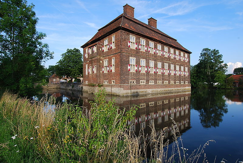
Schloss Oberwerries, Hamm

Gallery (3)
Map
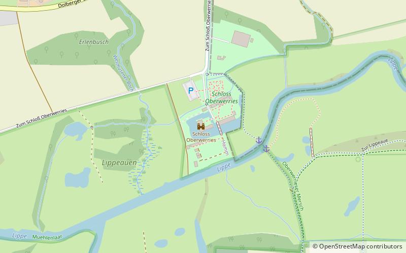
Map
Gallery
Facts and practical information
Oberwerries Castle is a two-winged moated castle in the floodplains of the Lippe River in the Hamm-Heessen district. It comprises several buildings that have grown together over the centuries to form the present castle complex.
Coordinates: 51°42'13"N, 7°53'18"E
Getting there by public transportation
Public transportation stops near this location
- Bus
 Bus
Bus
- Calculate routeSchloß Oberwerries 7 min walk
- Calculate routeLippestraße Friedhof 11 min walk
- Calculate routeWesthusener Weg 14 min walk
- Calculate routeSchacht Bayern 15 min walk
Day trips


Frequently Asked Questions (FAQ)
How to get to Schloss Oberwerries by public transport?
The nearest stations to Schloss Oberwerries:
Bus
Bus
- Schloß Oberwerries • Lines: R37 (7 min walk)
- Lippestraße Friedhof • Lines: T4 (11 min walk)